Samiksha Jaiswal (Editor)

Goianira

Updated on
Edit
Like
Comment
Share on FacebookTweet on TwitterShare on LinkedInShare on Reddit
Country
  
Brazil

State
  
Goiás

Elevation
  
757 m (2,484 ft)

Region
  
Central-West Region

Microregion
  
Goiânia Microregion

Time zone
  
BRT/BRST (UTC-3/-2)

Goianira goiasdenorteasulcombrbigupcidades24destaquejpg

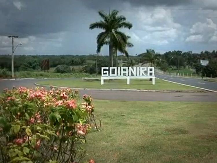
Goianira is a municipality in central Goiás state, Brazil, located 32 kilometers northwest of the state capital, Goiânia. The population was 24,110 (2007) in a total area of 200.4 km² (10/10/2002). Goianira is becoming a major producer of shoes.

Contents

Map of Goianira - State of Goi%C3%A1s, Brazil

Goianira is four kilometers east of highway BR-457 / GO-415, which links Goiânia to Aruanã. It is in the Meia Ponte River valley.

Neighboring municipalities are:

  • north: Caturaí
  • south: Goiânia and Trindade
  • east: Santo Antônio de Goiás
  • west: Avelinópolis
  • History

    Goianira began in 1920 with the name São Geraldo, founded by Padre Pelágio Sáuter. In 1935 São Geraldo became a district. In 1940 it served as a base for the construction of the new capital of the state of Goiás, and the name was changed to Itaim. This name lasted until 1942 when it was changed to Itaité. After a popular movement the name was changed back again to São Geraldo. This name lasted until 1943 when it was changed to its final name, Goianira. This name was supposedly chosen because of the name of the daughter of a popular school teacher of the town. Source: Sepin

    Political Data

  • Eligible voters: 16,182 (12/2007)
  • Mayor: Carlos Alberto Andrade Oliveira (January 2005)
  • Vice-mayor: Dirley Correa de Oliveira
  • Councilmembers: 09
  • Economic Data

  • Industrial units: 56 (06/2007)
  • Retail units: 160 (08/2007)
  • Banking institutions: Banco Itaú S.A. (08/2007)
  • Dairies: none (07/06/2005)
  • Meat packing houses: Frigorífico Centro-Oeste SP Ltda.; - Boa Vista Alimentos Ltda. (22/05/2006)
  • Industrial Park: Distrito Agroindustrial - DAG (Pólo Calçadista)
  • Main agricultural activities (2006):

  • Cattle raising: 24,000 head (2006)
  • Poultry: 90,600
  • Agriculture: rice (650 hectares), sugarcane (365 hectares), beans (165 hectares), and corn (900 hectares). There is modest production of coffee, coconuts, citrus fruits, and tomatoes. Statistics are from IBGE
  • Education (2006) and Health (2007)

  • Literacy rate: 88.1%
  • Infant mortality rate: 23.50 in 1,000 live births
  • Schools: 14 (2006)
  • Classrooms: 124
  • Teachers: 277
  • Students: 7,179
  • Hospitals: 01 (July 2007)
  • Hospital beds: 34
  • Walk-in public health clinics: 12
  • Human Development Index: 0.739

  • State ranking: 106 out of 242 municipalities in 2000
  • National ranking: 2,161 out of 5,507 municipalities in 2000
  • For the complete list see Frigoletto

    References

    Goianira Wikipedia