
Area 1,106 km² | Local time Thursday 9:42 PM | |
 | ||
Weather 26°C, Wind E at 10 km/h, 79% Humidity University Universidade de Nova Iguaçu | ||
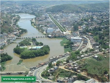
Itaperuna is a municipality in the Brazilian state of Rio de Janeiro. It had a population of 95.841 in 2010, and has an area of 1.105,3 km2.
Contents
Map of Itaperuna - State of Rio de Janeiro, Brazil
History
Itaperuna was founded in 1889, after being separated from the municipality of Campos dos Goytacazes. Its current mayor (from 2009 to 2012 is Fernando "Paulada" Fernandes (PSDB).
Location
Itaperuna is located 230 km from the state capital Rio de Janeiro. Its neighbouring municipalities are:
References
Itaperuna Wikipedia(Text) CC BY-SA