
Country Brazil State Rio de Janeiro Microregion Itaperuana Area 598.4 km² Population 35,411 (2010) | Region Southeast Mesoregion Noroeste Fluminense Founded 1939 Elevation 88 m Local time Monday 9:37 AM | |
 | ||
Weather 33°C, Wind NW at 8 km/h, 54% Humidity | ||
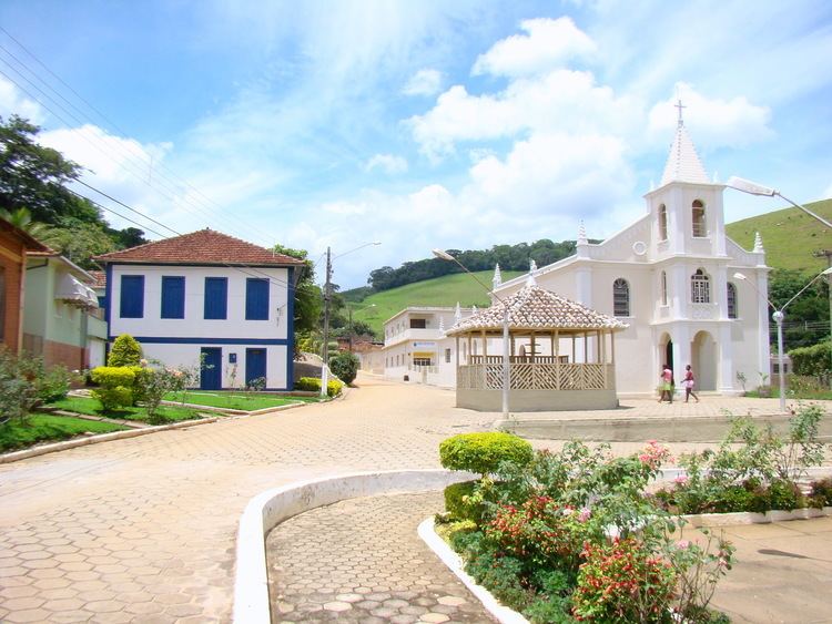
Viajando todo o brasil bom jesus do itabapoana rj especial
Bom Jesus do Itabapoana is a municipality in the Brazilian state of Rio de Janeiro. It had a population of 35,411 as of 2010, and has an area of 598,8 km2. It was founded in 1939, after being separated from the municipality of Itaperuna.
Contents
- Viajando todo o brasil bom jesus do itabapoana rj especial
- Map of Bom Jesus do Itabapoana State of Rio de Janeiro Brazil
- Entrando no rio de janeiro por bom jesus do itabapoana ep08 17
- Geography
- References
Map of Bom Jesus do Itabapoana - State of Rio de Janeiro, Brazil
Entrando no rio de janeiro por bom jesus do itabapoana ep08 17
Geography
The northern border of Bom Jesus do Itabapoana is delimited by the Itabapoana River, which divides the states of Rio de Janeiro and Espírito Santo. The city is located 251 km in a straight line from the state capital Rio de Janeiro. Its neighbouring municipalities are:
References
Bom Jesus do Itabapoana Wikipedia(Text) CC BY-SA