
Time zone UTC-3 (UTC-3) Elevation 442 m Population 5,544 (2008) | Region Central-West Founded November 14, 1958 HDI (2000) 0.747 – medium Area 2,091 km² Local time Thursday 5:50 PM | |
 | ||
Weather 28°C, Wind NE at 8 km/h, 62% Humidity | ||
Itajá is a city in southwest Goiás state, Brazil. Itajá is a large producer of beef cattle.
Contents
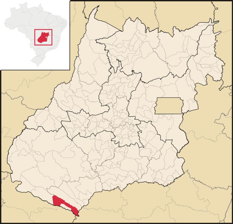
- Map of ItajC3A1 State of GoiC3A1s Brazil
- History
- Geography
- Demographics
- Economy
- Economic Data 2007
- Main agricultural products in ha2006
- Farm Data 2006in ha
- Education and Health
- References
Map of Itaj%C3%A1 - State of Goi%C3%A1s, Brazil
Itajá is part of the Quirinópolis Microregion. It is located eight kilometers north of the Aporá River, which forms the boundary between the states of Goiás and Mato Grosso do Sul.
Itajá is 408 kilometers from the state capital, Goiânia, and is connected by BR-060 / Abadia de Goiás / Guapó / Indiara / Acreúna / Rio Verde / GO-174 / GO-422 / Caçu / GO-206 / Itarumã / GO-178. See Sepin for all the distances.
History
The settlement began in 1947 with the name Fortaleza de São João. By 1953, it had grown so much that it became a district of Jataí with the name São João. In 1958 it was given municipality status with the name of Itajá, an inversion of the name "Jataí", the municipality from which it had been dismembered.
Geography
The region is rich in water resources, with several important rivers: Paranaíba, Aporé and Corrente. There is also a lake with hot water, with a temperature of 42 °C. Tourism is considered one of the most important industries. There are still stretches of tropical forest mixed with cerrado. Animal life in the region includes giant anteaters, capibara, foxes, armadillos, wolves, jaguars, seriema, macaws, parrots and others.
Itajá included a village (povoado) called Vila Nossa Senhora Perpétuo Socorro.
Demographics
Economy
The economy is based on services, small industries, agriculture and cattle raising. There are also three brickworks employing around one thousand people. Cattle raising is one of the major sources of income for the region although it provides relatively few jobs. The total number in 2006 was 176,000 head.
Economic Data (2007)
Main agricultural products in ha.(2006)
Farm Data (2006)in ha.
Education and Health
There were 05 schools with 1,590 students (2006) and 01 hospital with 13 beds (2006).
Ranking on the Municipal Human Development Index: 0.747