
 | ||
Iskra Peak (Bulgarian: връх Искра, ‘Vrah Iskra’ \'vr&h 'is-kra) is the partly ice-free peak rising to 850 m in the southeast foothills of Forbidden Plateau on Oscar II Coast in Graham Land. It surmounts Paspal Glacier to the west and south, and one of its tributaries to the east. Named after the settlements of Iskra in Northern, Northeastern, Southeastern and Southern Bulgaria.
Contents
Map of Iskra Peak, Antarctica
Location
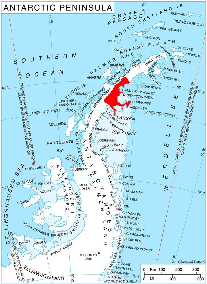
Iskra Peak is located at 64°52′45″S 61°56′42″W, which is 8 km south-southeast of Mount Walker, 3.8 km west-southwest of Duhla Peak, and 7 km northeast of Dugerjav Peak. British mapping in 1978.
Maps
References
Iskra Peak Wikipedia(Text) CC BY-SA