
 | ||
Duhla Peak (Bulgarian: връх Духла, ‘Vrah Duhla’ \'vr&h 'duh-la) is the rocky peak rising to 900 m in Zagreus Ridge on Oscar II Coast in Graham Land. It surmounts Hektoria Glacier to the northeast, and tributaries to Paspal Glacier to the west and southeast. The feature is named after Duhla Cave in Western Bulgaria.
Contents
Map of Duhla Peak, Antarctica
Location
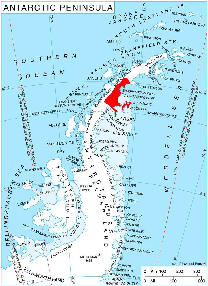
Duhla Peak is located at 64°52′15″S 61°52′01″W. 1.82 km south-southeast of Marchaevo Peak, 13.8 km west of Mount Quandary, and 10.4 km northeast of Dugerjav Peak. British mapping in 1978.
Maps
References
Duhla Peak Wikipedia(Text) CC BY-SA