
 | ||
Dugerjav Peak (Bulgarian: връх Дугержав, ‘Vrah Dugerzhav’ \'vr&h 'du-ger-zhav) is the rocky peak rising to 1350 m in the southeast foothills of Forbidden Plateau on Oscar II Coast in Graham Land. It surmounts Paspal Glacier to the northeast and Green Glacier to the south. The feature is named after the pioneer of Mongolian Antarctic research Lhamsuren Dugerjav, geologist at St. Kliment Ohridski base in 2010/11 and subsequent seasons.
Contents
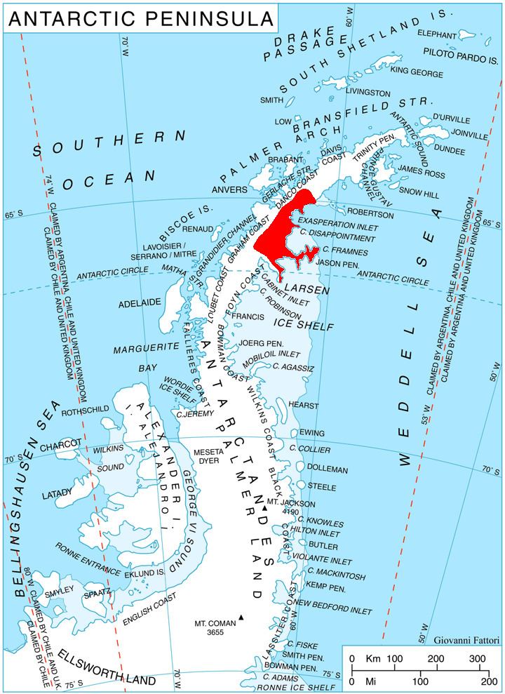
Map of Dugerjav Peak, Antarctica
Location
Dugerjav Peak is located at 64°55′26″S 62°02′21″W, which is 11.9 km south of Mount Walker, 13 km west-southwest of Sekirna Spur, 14.4 km north of Mount Bistre, and 16.25 km southeast of Mechit Buttress on Danco Coast. British mapping in 1980.
Maps
References
Dugerjav Peak Wikipedia(Text) CC BY-SA