
Length 3.262 km | Counties: Alameda | |
 | ||
Existed: 1976 (FHWA); 1981 (state) – present County Alameda County, California | ||
Interstate 980 (I-980) is a short Interstate Highway spur entirely within Oakland, California, connecting Interstate 580 and State Route 24 to Interstate 880 near Downtown Oakland. I-980 passes the Oakland Convention Center and near the famous Jack London Square. I-980 is commonly considered the dividing line between Downtown Oakland and West Oakland. The freeway was planned as the eastern approach to the San Francisco Bay Southern Crossing. It is officially known as the John B. Williams Freeway, after the former director of the City of Oakland's Office of Community Development.
Contents
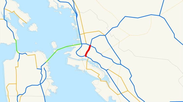
Map of I-980, Oakland, CA, USA
Interstate 980 was used as an alternate route between Oakland and San Francisco when the Cypress Viaduct carrying Interstate 880 collapsed in the Loma Prieta earthquake in 1989. Traffic headed from the south would have to use 980 to 580 west to Interstate 80 west to get across the Bay Bridge to reach San Francisco. This ended when Interstate 880 reopened on a new alignment in 1998.
This route is part of the California Freeway and Expressway System.
Route description
Although I-980 physically goes in a diagonal direction from southwest to northeast, it is signed as an east–west route like SR 24. Immediately after traffic leaves I-880 on elevated connector ramps, I-980 then descends below grade to pass under downtown city streets. The freeway then ascends above grade to pass over San Pablo and 27th Street before reaching I-580 and SR 24.
The freeway itself lacks overhead guide signs mentioning I-980. Immediately after Exit 1B - 17th Street/San Pablo Avenue going eastbound on I-980 is a guide sign mentioning the junction with I-580. Likewise, the guide signs on westbound I-980 at Exit 1D - 18th Street list I-880 and San Jose as a control city.
History
I-980 was added to the state highway system in 1947 as part of Legislative Route 226, and to the California Freeway and Expressway System in 1959. This segment of Route 226 became part of State Route 24 in the 1964 renumbering. The Federal Highway Administration approved the addition of the roadway to the Interstate Highway System in January 1976, with Interstate funding only used west of San Pablo Avenue, and the number was legislatively changed to 980 in 1981.
Construction on Interstate 980 began in the 1960s, but was not completed until 1985; officially the freeway was designated as I-980 from its opening. The surface roads which existed prior to the completion of the freeway had been designated as State Route 24.
It is assumed by many that had the San Francisco Bay Southern Crossing ever been built, it would have carried the designation of I-980; this remains purely speculative, however.
The San Francisco Chronicle reported in November 2015 about a grassroots organization of local architects and planners, and supported by Oakland mayor Libby Schaaf, that propose to replace I-980 with a landscaped city boulevard. ConnectOakland is coordinating the push for a replacement. Arguments for replacement focus on the freeway's low volume of traffic and negative impact on surrounding neighborhoods. In January 2017 I-980 was included in the Congress for the New Urbanism "Freeways without Futures" report.
Exit list
Except where prefixed with a letter, postmiles were measured on the road as it was in 1964, based on the alignment that existed at the time, and do not necessarily reflect current mileage. R reflects a realignment in the route since then, M indicates a second realignment, L refers an overlap due to a correction or change, and T indicates postmiles classified as temporary (for a full list of prefixes, see the list of postmile definitions). Segments that remain unconstructed or have been relinquished to local control may be omitted. The entire route is in Oakland, Alameda County.