
Existed: 1960 – present Constructed 1960 | Length 355.2 km | |
 | ||
Counties | ||
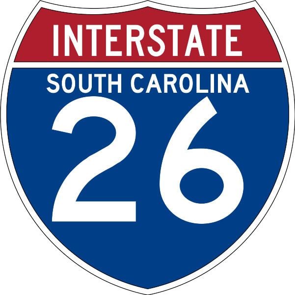
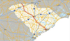
Interstate 26 (I-26) is a South Carolina Interstate highway running generally east–west from near Landrum, in Spartanburg County, to U.S. Route 17, in Charleston, South Carolina. It is also the longest interstate highway in South Carolina.
Contents
Route description
I-26 runs 220 miles through South Carolina. Mile markers run from west (north) to east (south). Mile Marker 0 is in the mountains at the NC state line. The last exit, at US 17 south of Charleston, is exit 221.
I-26 runs between the Broad and Saluda Rivers, descending from the mountains to the piedmont or midlands. At Columbia, I-126 crosses the confluence of the Broad and Saluda, which together form the Congaree, near the Columbia Canal and water treatment plant. I-26 continues following the Congaree, until it hops south over into the Cooper and Ashley Drainage, then down to the coast.
I-26 is predominantly a four-lane rural interstate with 70-mile-per-hour (110 km/h) speed limits. In the Columbia and Charleston areas, the interstate widens to six-lanes, but speeds are lower.
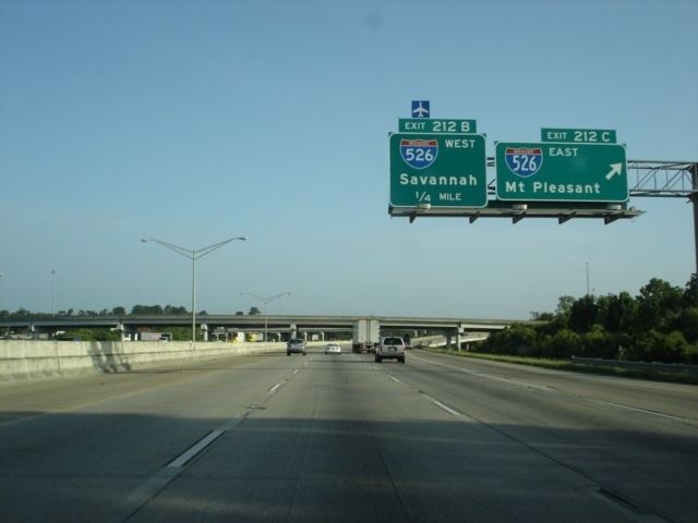
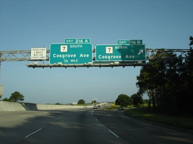
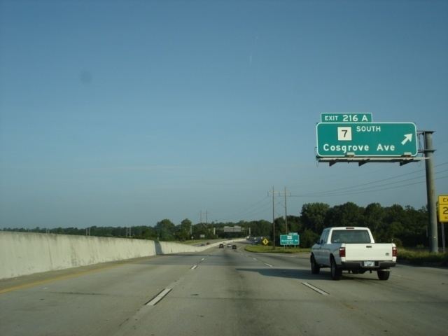
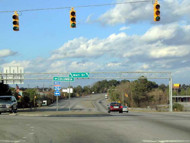
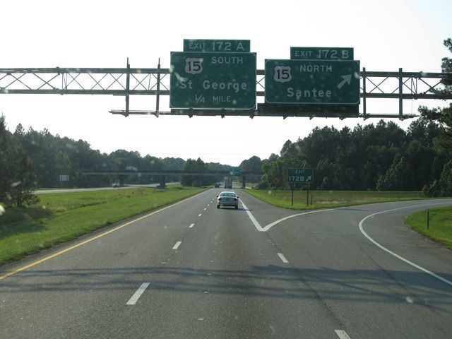
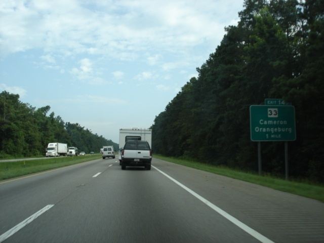
I-26 enters South Carolina just northeast of Landrum, traveling a southeasterly direction. The first major city along its route is Spartanburg, where it intersects I-85 to Greenville and Charlotte. As the interstate weaves along the terrain, it reaches Clinton; where westbound travelers can connect with I-385 towards Greenville. Traveling through the Sumter National Forest, it connects with Newberry before entering the Midlands. At Columbia in a section known as "Malfunction Junction", it connects with I-20, to Augusta and Florence, and I-126 towards the downtown area; it then goes south over the Saluda River and into Lexington County for the second of eventually four times along its course. At Cayce, it connects with I-77 to Charlotte. South of Cayce, the interstate goes up and down a few very long hills before reaching the outskirts of Orangeburg and I-95, to Savannah and Florence. As it enters the relatively flat plains of the Lowcountry, the area becomes urbanized as the interstate encroaches upon North Charleston and Charleston. As the interstate curves through the peninsula formed by the Ashley and Cooper rivers, it connects with I-526, to Savannah and Mount Pleasant. Near the end, it overlaps with US 17 from its new interchange (from the Arthur Ravenel Jr. Bridge) to where the old interchange remnants and where I-26 ends (formally where the John P. Grace Memorial Bridge and Silas N. Pearman Bridge connected).
History
Construction of I-26 began in 1957 in the Columbia area with the 9-mile (14 km) section from the Broad River to near Irmo. The 11-mile (18 km) section of I-26 from I-126/US 76 in Columbia to US 176 at Exit 97 was the first section of the highway to open up to traffic (on September 7, 1960). The 6-mile (9.7 km) section from SC 210 to US 15 opened in September 1962. Construction proceeded in stages heading both west up towards Greenville and east towards Charleston. The highway was largely completed from Columbia to North Charleston by 1964; the section from Aviation Avenue to the highway's terminus at US 17 in downtown Charleston progressed more slowly due to land takings for the right of way and numerous bridges and viaducts that had to be built. The entire 221 miles of I-26 were completed by February 1969.
In the 1980s-90s, I-26 around Columbia was widened from four to six lanes. In the mid-90s, the North Charleston area was also widened from four to six lanes. In 2005, the US 17 was realigned to a new interchange with I-26 at exit 220 from exit 221; the old interchange was mostly torn down and reconfigured, leaving the I-26 viaduct eastbound off-ramp and westbound on-ramps with US 17 south.
In 2011, a plan to add a lane in each direction between Broad River Road and St. Andrews Road through "Malfunction Junction" had $8.5 million in funding but was expected to start sometime after 2012 and take two years.
On October 5, 2016, I-26 had all lanes converted to westbound only, from I-77 to I-526, due to Hurricane Matthew.