
Existed: 1961 – present Length 5.92 km | Constructed 1962 | |
 | ||
East end: US 21 / US 76 / US 176 / US 321 in Downtown Columbia County | ||
Interstate 126 (I-126) is a spur route of I-26, almost entirely within the city limits of Columbia in the U.S. state of South Carolina.
Contents
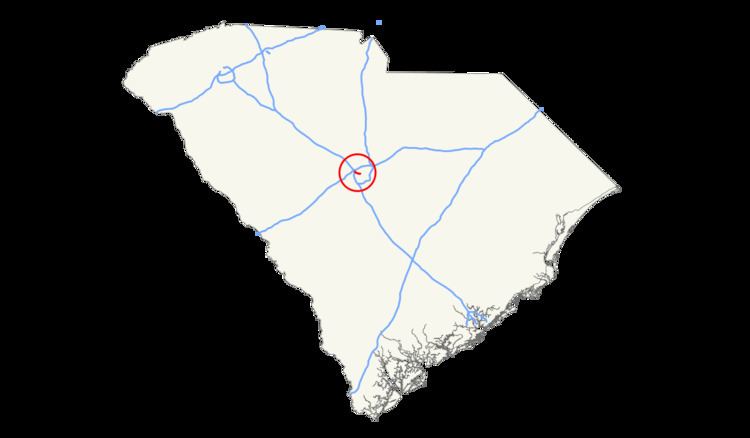
Map of I-126, Columbia, SC, USA
Route description
Traversing a total of 3.68 miles (5.92 km), it starts at exit 108 along I-26, it has exits with I-20 (westbound only, signed "Exit 107" as it leads to the I-26 interchange), Colonial Life Boulevard (westbound only) and Greystone Boulevard (to Riverbanks Zoo), before crossing the Broad River on the Timmerman Bridge. Past the bridge is a final interchange with US 21/US 176/US 321 (Huger Street). Entering downtown Columbia, it merges briefly with US 21/US 176/US 321, at Huger Street, before ending at Gadsden Street. It is named the Lester Bates Freeway and is co-signed with US 76 for the entire route.
History
Construction started on I-126 in 1959 and it was completed in 1961 as a four-lane freeway spur of I-26 which opened at the same time. Around 1980, it was widened to six lanes to from I-26 to Greystone Boulevard and eight lanes from there to Huger Street. By the 1990s, a lane was added eastbound from Colonial Life Boulevard to Greystone Boulevard and westbound from Greystone Boulevard to a new I-20 exit just before its western terminus. The eastern terminus of I-126 has fluctuated between Huger Street and Gadsden Street.
Exit list
All exits are unnumbered. The entire route is in Columbia, Richland County.
Interstate 126 Business
Interstate 126 Business (I-126 Bus) was a boulevard-grade business spur of I-126 along Elmwood Avenue, between Huger Street and Bull Street; in concurrence with US 21/US 76/US 176/US 321. The route was never marked on state, county or city highway maps. Signage proliferated along the westbound route in the late 1970s from Bull Street to Assembly Street, but by 2000 only one sign remained and this was gone by the mid 2000s. At some point, I-126 absorbed part of the business spur from Huger Street to Gadsden Street. It is considered decommissioned as no current state/federal maps list it, nor does any physical signage exist.