
History: Completed in 1986 Length 24.45 km | Constructed 1986 | |
 | ||
Existed: June 23, 1969 – present Counties | ||
Washington interstate 182 west mile marker 15 to 10 5 22 13
Interstate 182 (I-182) is an east–west auxiliary Interstate Highway in the U.S. state of Washington. The state highway is an Interstate route, traveling around the city of Kennewick, the largest of the three Tri-Cities in Eastern Washington. I-182 passes through the cities of Richland and Pasco, located in Benton and Franklin counties, respectively. The four-lane freeway, which is concurrent with U.S. Route 12 (US 12) for its entire 15-mile-long (24 km) length, begins at an interchange with I-82 in the Horse Heaven Hills and runs through Richland, becoming concurrent with State Route 240 (SR 240). I-182 and US 12 cross over the Columbia River into Pasco on the Interstate 182 Bridge and become concurrent with US 395 before the former designation ends abruptly.
Contents
- Washington interstate 182 west mile marker 15 to 10 5 22 13
- Map of I 182 Washington USA
- Route description
- History
- References
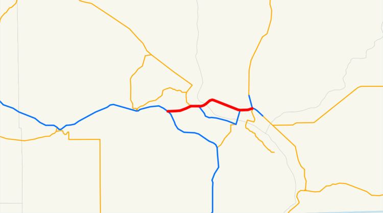
Map of I-182, Washington, USA
Route description
I-182 begins at Goose Gap, located between Badger Mountain and Candy Mountain in the Horse Heaven Hills, at a trumpet interchange with I-82 and US 12 in unincorporated Benton County. The four-lane freeway carries I-182 and US 12 concurrently northeast into Richland, where it intersects Queensgate Drive in a partial cloverleaf interchange. The highway continues east across the Yakima River to a trumpet interchange with SR 240, forming a short concurrency with SR 240. The concurrency ends at the following junction, a cloverstack interchange with George Washington Way, where I-182 and US 12 split off from SR 240, which continues southeast into Kennewick along the Columbia River. The freeway continues northwest across the Columbia River on the Interstate 182 Bridge, also known as the Lee-Volpentest Bridges, which carry six lanes of I-182 on twin 1,500-foot-long (460 m) spans into Pasco in Franklin County.
I-182 enters Pasco and turns 90 degrees southeast towards the city center after intersections with Broadmoor Boulevard and Road 68 at Gesa Stadium. The freeway intersects US 395 in a trumpet interchange, beginning a third concurrency, and 20th Avenue in a partial cloverleaf interchange near Columbia Basin College and the Tri-Cities Airport, utilizing an eastbound collector-distributor lane. I-182 continues east, forming the northern boundary of downtown Pasco, intersecting 4th Avenue before crossing over a BNSF-owned railyard. The freeway reaches a cloverleaf interchange with SR 397, where US 395 splits off to travel north towards Spokane. I-182 ends southeast of the interchange, while the roadway continues southeastward towards Burbank and Walla Walla as US 12.
I-182 is defined by the Washington State Legislature as SR 182, part of the Revised Code of Washington as §47.17.020. As a component of the Interstate Highway System, the highway is listed as part of the National Highway System for its entire length, classifying it as important to the national economy, defense, and mobility. The Washington State Department of Transportation (WSDOT) maintains the freeway and designates the corridor as a Highway of Statewide Significance, which includes highways that connect major communities in the state of Washington. WSDOT also conducts an annual series of surveys on its highways in the state to measure traffic volume, which is expressed in terms of average annual daily traffic (AADT), a measure of traffic volume for any average day of the year. WSDOT calculated that the busiest section of I-182 is between its interchange with SR 240 and the Interstate 182 Bridge in Richland, where approximately 60,000 vehicles used the freeway on average each day in 2013; in contrast, the lowest traffic level on I-182 was 8,900 vehicles at its western terminus with I-82.
History
As part of Washington's first connected state highway system, the Washington State Legislature designated the Inland Empire Highway between Ellensburg and Laurier in 1913. The State Highway Board selected a route that would connect the main cities of Eastern Washington and the Inland Empire, which were Ellensburg, Yakima, the Tri Cities, Colfax, and Spokane. In 1923, by which time the entire road had been improved, the highway became State Road 3 (Primary State Highway 3 after 1937), but retained its name. By that time, all of the route of Interstate 182 became a part of US 410 and US 395; both were established in 1926. When I-82 was approved in 1956, the Tri-Cities wanted an Interstate, since Interstate 82 bypassed the cities. Interstate 182 was the solution and created a connection to the Tri-Cities. Legally, I-182 is defined by the Revised Code of Washington § 47.17.372.