
Country United States | Elevation 4,327 ft (1,319 m) | |
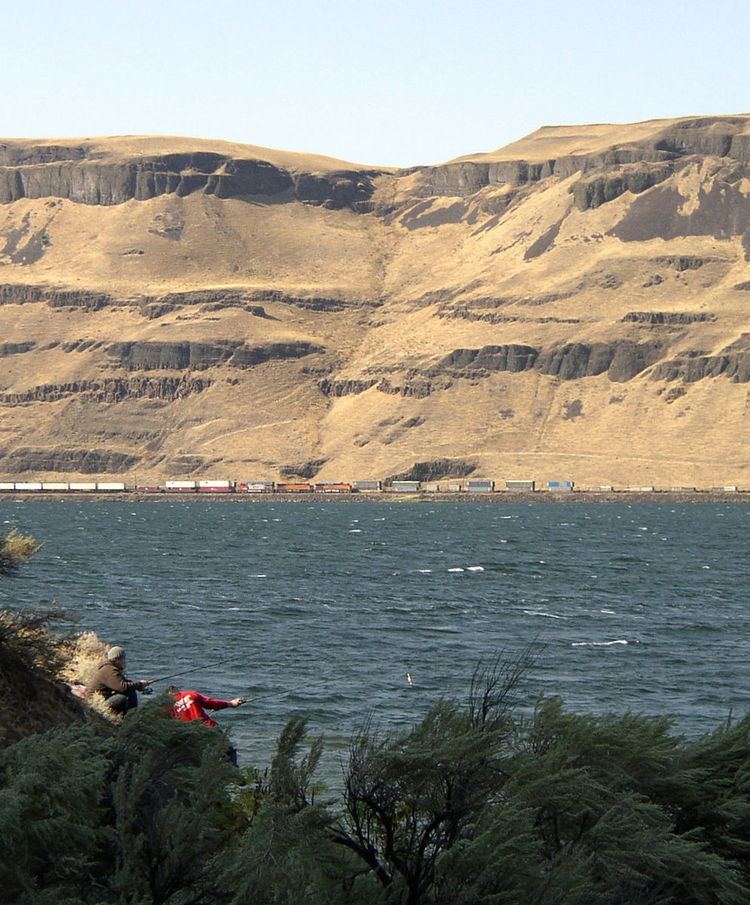 | ||
The Horse Heaven Hills are a long range of high, rolling hills in Klickitat, Yakima, and Benton counties in Washington located east of Satus Creek and west of the Columbia River between the Yakima River and the Wallula Gap. The hills are an anticline ridge in the Yakima Fold Belt formed by north–south compression of lava flows in the Columbia River Basalt Group. The highest point is Bickleton Ridge ( ) which reaches 4,327 feet (1,319 m) high near the town of Bickleton at the southwest end of the range.
A small paleontological survey in Benton County identified numerous fossilized skeletal remains, proving prehistoric mammoths, bisons, early horses, and other animals once populated the hills. The majority of the skeletal fragments were found in canyons under fine silt and sand. They date from 7,000 to 12,000 years old, with some specimens found to be even older. The higher altitudes where the specimens were found indicate the now extinct animals survived massive flooding that followed the Ice Age.
James Gordon Kinney, an early pioneer, is credited with officially naming the Horse Heaven Hills in 1881. He first came to the region in 1857. Impressed by the knee-high grass that fed the large bands of feral horses that roamed, he remarked "the area offers excellent forage and comparative isolation... This is surely a horse heaven!"
Irrigation has recently made parts of the Horse Heaven Hills into an important agricultural region. Chateau Ste. Michelle operates the single largest wine making facility in the state of Washington in the town of Paterson.
Several intermittent streams rise in the Horse Heaven Hills, including Amon Creek.