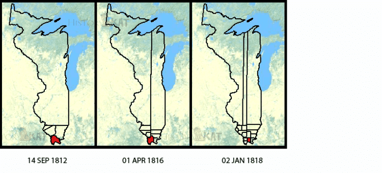
1809–1818 → → Granted statehood December 3, 1818 Date dissolved December 3, 1818 | 1816–1818 Joseph Phillips | |
 | ||
Government Organized incorporated territory | ||
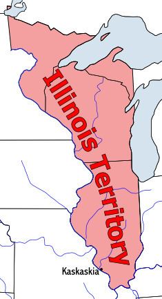
The Territory of Illinois was an organized incorporated territory of the United States that existed from March 1, 1809, until December 3, 1818, when the southern portion of the territory was admitted to the Union as the State of Illinois. Its capital was the former French village of Kaskakia.
Contents
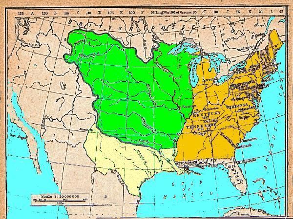
The area was earlier known as "Illinois Country" while under French control, first as part of French Canada and then as part of French Louisiana. The British gained authority over the region east of the Mississippi River with the 1763 Treaty of Paris, marking the end of the French and Indian War.
During the American Revolutionary War, Colonel George Rogers Clark took possession of the region for Virginia, which established the "County of Illinois" to exercise nominal governance over the area. Virginia later (1784) ceded nearly all of its land claims north of the Ohio River to the Federal government of the United States, in order to satisfy objections of land-locked states.
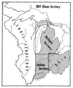
The area became part of the United States' Northwest Territory (from July 13, 1787, until July 4, 1800), and then part of the Indiana Territory as Ohio prepared to become a state. On February 3, 1809, the 10th United States Congress passed legislation establishing the Illinois Territory, after Congress received petitions from residents in the far western areas complaining of the difficulties of participating in territorial affairs in Indiana.
Boundaries
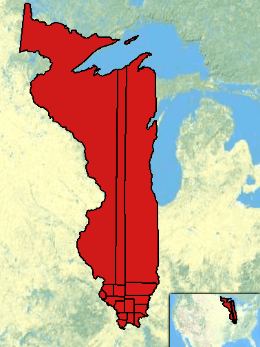
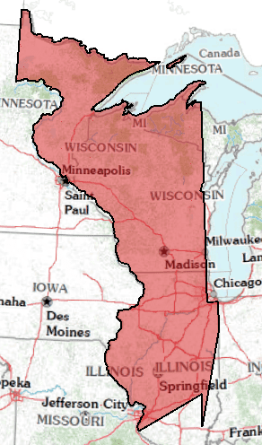
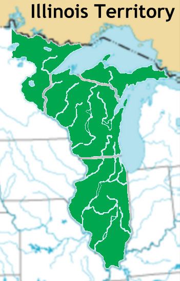
The Illinois Territory originally included lands that became the states of Illinois, Wisconsin, the eastern portion of Minnesota, and the western portion of the upper peninsula of Michigan. As Illinois was preparing to become a state, the remaining area of the territory was attached to the Michigan Territory.
The original boundaries of the Territory were defined as follows: “...all that part of the Indiana Territory which lies west of the Wabash river, and a direct line drawn from the said Wabash river and Post Vincennes, due north to the territorial line between the United States and Canada...”
Kaskaskia was the territorial capital. The 1810 census showed a population of 12,282.
Officials
Ninian Edwards served as governor of the territory during its entire existence. Its secretaries were:
End of the Territory
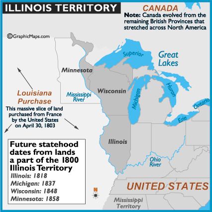
In 1818, the southern half of the territory was admitted to the United States as the State of Illinois. The northern half, modern Wisconsin and parts of modern Minnesota and Michigan became part of the Territory of Michigan.