
Constructed 5 November 1918 | Length 143.7 km | |
 | ||
Existed: November 5, 1918 – present | ||
Illinois Route 38 is a west–east state highway that runs across northern Illinois. It runs from U.S. Route 52 (US 52) in downtown Dixon to US 12/US 20/US 45 (Mannheim Road) in Westchester. This is a distance of 89.28 miles (143.68 km). It runs concurrently with the Lincoln Highway between Dixon and the junction of Illinois Route 31 in Geneva where it transitions via State Street onto Roosevelt Road at the junction of Kirk Road and continues through the western suburbs to its terminus at the junction of Mannheim Road. Roosevelt Road continues on an additional 14 miles without a route designation until terminating at US 41 (Lake Shore Drive).
Contents
Map of IL-38, Illinois, USA
Illinois Route 38 travels along the former route of US 330, that existed from 1926 to 1942. It spanned from Galt to Lynwood.
Route description
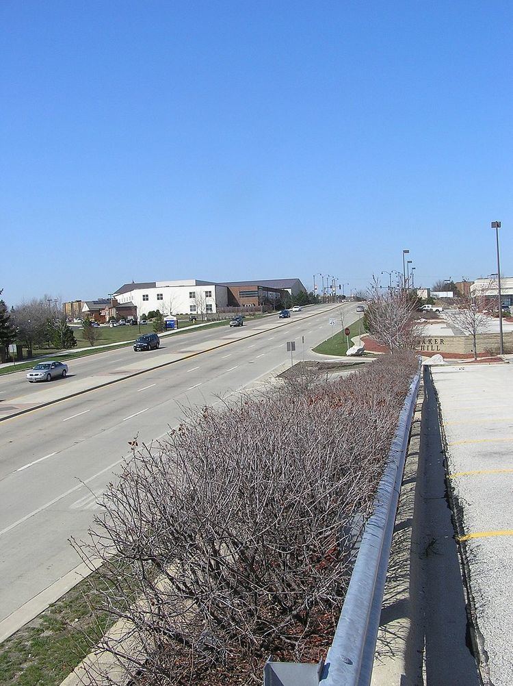
Illinois 38 runs along the historic Lincoln Highway for much of its length, and parallels Interstate 88 as well. Illinois 38 serves some cities that have no interchanges on Interstate 88. It enters the Chicago metropolitan area at Elburn, as this border is pushed west with the extension of the Metra rail system. Except in cities, Illinois 38 has two lanes west of Geneva.
Illinois 38 generally has two lanes west of the Fox River, except in cities, and four lanes east of the river. From Villa Park to Interstate 294, Illinois 38 expands to six lanes and becomes a limited access freeway with exits to Illinois Route 56, Illinois Route 83, Interstate 290 and Interstate 294. The ramp to Interstate 290 has an automated gate system that closes during high-volume periods, such as rush hour.
History
The Lincoln Highway was routed along modern-day Route 38 between Geneva and Dixon. When numbered US Highways began to replace named cross-country roads (like US 30 for the Lincoln Highway), this stretch of highway was signed as Alternate US 30. As traffic patterns shifted, these alternates to US highways became unnecessary and fell out of favor; in 1972 [2] Alt US 30 was re-signed as Illinois Route 38. The number 38 was chosen because of the similar pronunciation to "30-A".
In 1914, one mile of road near Malta, Illinois was paved with concrete. This was the first "Seedling Mile" of concrete road on the Lincoln Highway. Seedling Miles were constructed on several portions of the Lincoln Highway to encourage the paving of the highway from coast to coast.
U.S. Route 330
U.S. Route 330 (US 330) was a U.S. Highway that traveled from Galt to Lynwood, and was in service from 1926 to 1942. It has since been replaced in its entirety by Illinois Route 38 west of Bellwood, and by other local roads east of Bellwood to Lynwood.
US 330 branched off at Geneva, where US 30 ran along present Illinois Route 38 and Illinois Route 31, and ran east to Chicago. After several extensions on the west end, it became part of US 30 Alternate ca. 1942 and Illinois 38 ca. 1971.