
Existed: 1918 – present Length 519.9 km | Constructed 1918 | |
 | ||
North end: US 12 / US 20 in Chicago Major cities | ||
Illinois Route 1 (IL 1) is a state highway in the U.S. state of Illinois. Running parallel to the Indiana border, it is also the longest state road, starting on the south side of Chicago as Halsted Street at an intersection with U.S. Route 12 and U.S. Route 20 (95th Street), south to a free ferry crossing to Kentucky at Cave-in-Rock on the Ohio River. This is a distance of 325.59 miles (523.99 km).
Contents
Map of IL-1, Illinois, USA
Route description
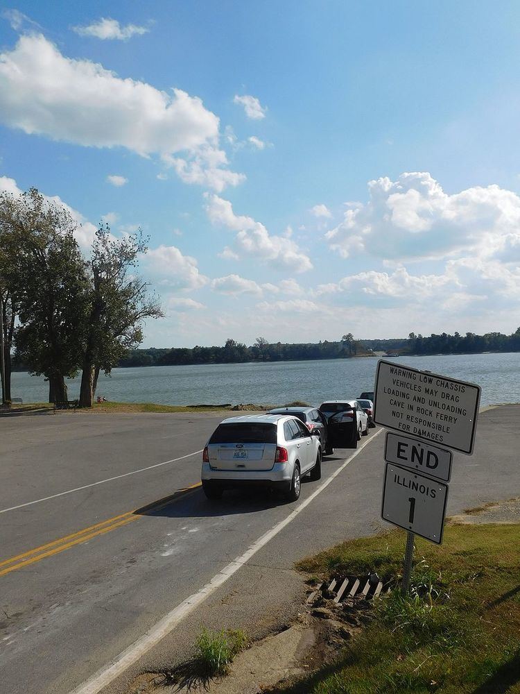
Illinois 1 starts in the river village of Cave-In-Rock, on the Ohio River. It passes through the hills of Southern Illinois, and junctions at US 45 in Norris City. From there, it continues northeast through Carmi, Grayville, and Mount Carmel, and makes another direction change to the north. After passing through Lawrenceville, Illinois 1 does not pass through many towns for the next 50 miles until it reaches Marshall, although it does come close to Robinson. The road then runs through Paris, where it begins a multiplex with US 150. At Danville, US 150 splits off towards Champaign and US 136 follows Illinois 1 north for about 12 miles. Illinois 1 is more of a major route north of Danville, since it connects Danville with the Chicago area. Illinois 1 runs in a relatively north direction north of Danville, passing through Hoopeston and Watseka before reaching the outskirts of Kankakee. Illinois 1 then zigzags through Momence and Grant Park along with Illinois 17. At Goodenow, a lot of traffic merges onto Illinois 394, while most of the local traffic stays on Illinois 1. Illinois 394 eventually turns into I-94 in the southern suburbs. From Goodenow, Illinois 1 runs through numerous Chicago suburbs such as Chicago Heights and Harvey before ending at US 12 and US 20 on Chicago's south side.
History
Illinois 1 was commissioned in 1918 as SBI Route 1. The original route had extended further along the northern end into Chicago along Vincennes Avenue and Michigan Avenue, and on the southern end from Norris City to Metropolis.
When U.S. Highway 45 was established from Norris City to Metropolis, Illinois 1 shifted east to Cave-In-Rock. Kentucky State Route 91 continues across the Ohio River.
In 1937, Illinois 1 was shifted southeast away from Albion to directly connect Mount Carmel and Grayville. Eventually, Illinois Route 15 and Illinois Route 130 replaced Illinois 1 to Albion.
In the 1950s, a freeway, then known as the Calumet Expressway, was constructed south from Chicago. This was designated Illinois 1, while the old highway along Halsted Street was signed Alternate Illinois Route 1. By 1964, Illinois 1 was restored to its old alignment, and Illinois Route 394 was applied to the expressway south of the portion designated as Interstate 94 (the I-94 portion now being known as the Bishop Ford Freeway). At this time, Illinois 1 was discontinued north of I–57.
Dixie Highway
Most of Route 1 north of Danville was part of the western division of the Dixie Highway, which goes through downstate Illinois and enters the Chicago area as it passes through Beecher. From here it follows the Vincennes Trail north and splits into the Bishop Ford Freeway (formerly the Calumet Expressway) and Chicago Road (which was one of the original roads into Chicago from the south) The Dixie Highway follows Chicago Road through Crete, Steger, South Chicago Heights, (at which point it meets up with the Sauk Trail.
As Route 1 continues north, it has a junction with Lincoln Highway (US 30). This is sometimes known as the "Crossroads of the Nation", because it is the intersection of two major auto trails. This intersection helped cities such as Chicago Heights thrive in its early days. Approximately two blocks after this intersection, Dixie Highway splits from Chicago Road and continues north through Flossmoor and Homewood. At the north end of Homewood's downtown, the road turns and goes under the Illinois Central Railroad tracks, which now carries both the Metra Electric Line and Amtrak trains. The road continues north through East Hazel Crest and past the Markham Rail Yards and under the Tri-State Tollway.
Past the tollway, the road enters Hazel Crest, Markham and then Harvey. As the road continues, creating a border between the towns of Dixmoor and Posen, its name changes to Western Avenue.
When the road enters Blue Island, it splits into two streets, (Western and Gregory), and realigns itself into one when it reaches Burr Oak Avenue. The road then enters the city of Chicago. Through Chicago, Western Avenue is a major boulevard, which continues north through the city to the town of Evanston (where it is named Asbury Street), which is where the Dixie Highway ends.