
Length 15 km | ||
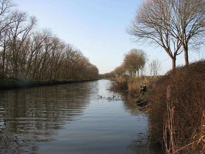 | ||
The Ieperlee (or Ypres-IJzer Canal) is a canalized river that rises in Heuvelland in the Belgian province of West Flanders and flows via the city of Ieper (Ypres) into the Yser at Fort Knokke.
Contents
Map of Ieperlee, Belgium
The river is 17 kilometres (11 mi) long. It gave its name to the city of Ieper. In the 11th century the river was canalized to link the city, which had a thriving cloth industry, to the sea. Even in 1842, some 2034 boats still passed the lock at Boezinge. Today, the canal is only used for recreational purposes.
During the First World War, the river was part of the frontline. It linked the Ypres Salient, held by the French and English, to the Yser Front, held by the Belgian Army (see Dodengang).
Tributaries
References
Ieperlee Wikipedia(Text) CC BY-SA