
 | ||
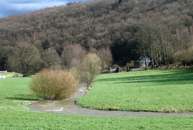
The Idar Forest (German: Idarwald, Celtic: "id ar" - hill forest above the land) is part of the Hunsrück low mountain range in the German federal state of Rhineland-Palatinate, Germany.
Contents
Geography
The Idar Forest lies in the districts of Bernkastel-Wittlich and Birkenfeld in the northeast of the Saar-Hunsrück Nature Park. It lies more or less in the triangle formed by the villages of Morbach (in the northwest), Rhaunen (northeast) and Idar-Oberstein (southeast), but apart from Morbach – does not extend as far as these places. The underlying rocks are primarily made up of Lower Devonian quartzites.
Mountains
Amongst the highest mountains in the Idar Forest are:
Streams
The following streams rise in, or on the edge of, the Idar Forest:
Lakes and reservoirs
The following lakes and reservoirs are located in, or on the edge of, the Idar Forest: