
Elevation 766 m | ||
 | ||
Similar Wildenburger Kopf, An den zwei Steinen, Rösterkopf, Idarkopf, Ruppelstein | ||
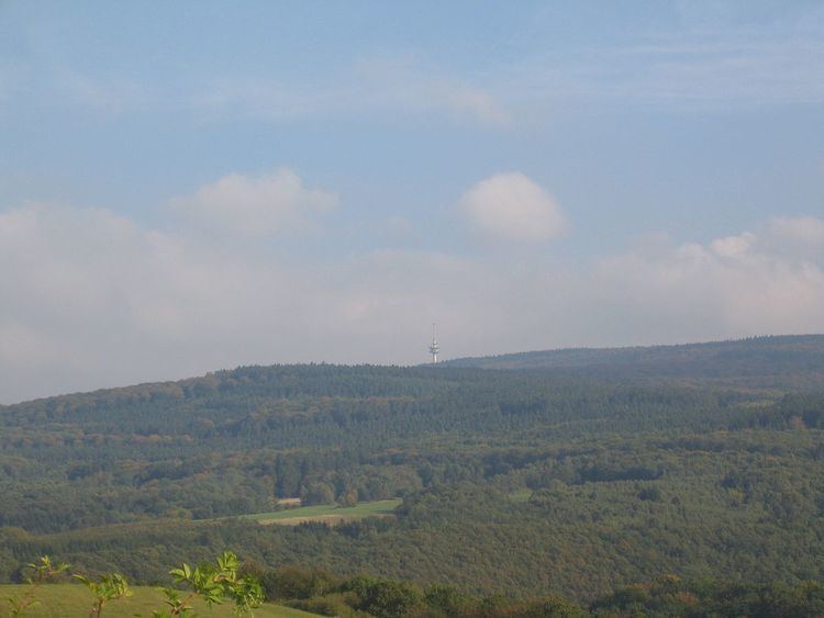
The Kahlheid near Morscheid-Riedenburg in the Idar Forest (Hunsrück) is a mountain, 766 m above sea level (NHN), on the boundary between the counties of Birkenfeld and Bernkastel-Wittlich in the German state of Rhineland-Palatinate.
Map of Kahlheid, 54497 Morbach, Germany
The mountain is the third highest in Rhineland-Palatinate after the Erbeskopf (816.3 m), 2.6 km to the southwest and its southwestern subpeak, the Springenkopf (784.2 m), in the Schwarzwalder Hochwald, and the peak of An den zwei Steinen (766.2 m), 12 km to the northeast (both distances as the crow flies), also in the Idar Forest.
References
Kahlheid Wikipedia(Text) CC BY-SA