
Time zone CET/CEST (UTC+1/+2) Area 15.39 km² Postal code 54472 Dialling code 06536 | Elevation 510 m (1,670 ft) Postal codes 54472 Local time Monday 5:13 AM Population 266 (31 Dec 2008) | |
 | ||
Weather 2°C, Wind SE at 18 km/h, 75% Humidity | ||
Hochscheid is an Ortsgemeinde – a municipality belonging to a Verbandsgemeinde, a kind of collective municipality – in the Bernkastel-Wittlich district in Rhineland-Palatinate, Germany.
Contents
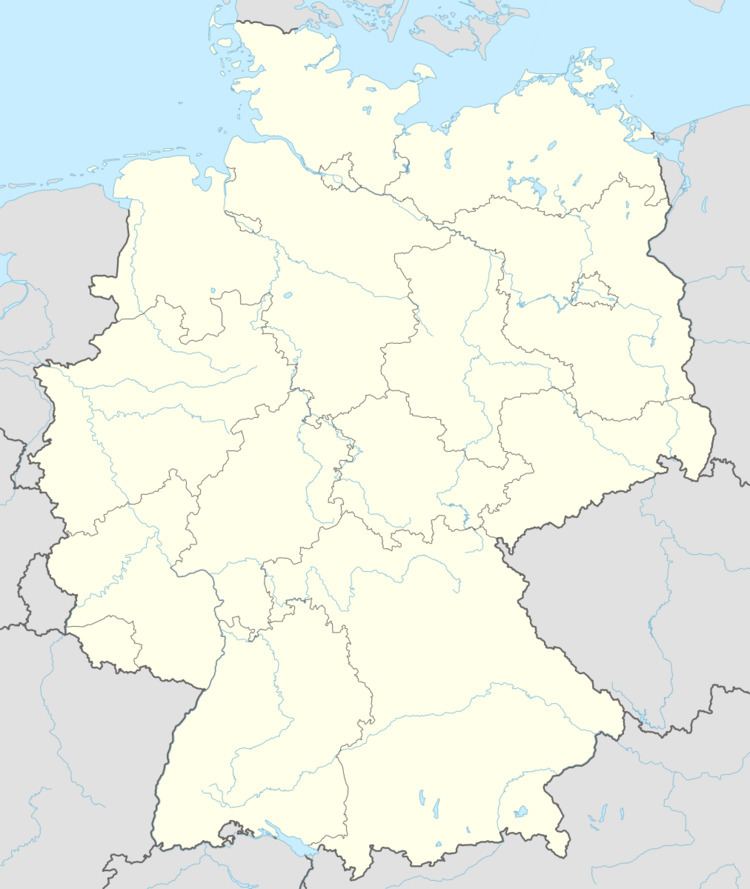
- Map of Hochscheid Germany
- Location
- Neighbouring municipalities
- History
- Municipal council
- Coat of arms
- Economy and infrastructure
- References
Map of Hochscheid, Germany
Location
This rural municipality lies in the middle of low-mountain country in the Hunsrück, at the foot of the Idarkopf. Hochscheid belongs to the Verbandsgemeinde of Bernkastel-Kues, whose seat is in the like-named town.
Neighbouring municipalities
Neighbouring municipalities within a five-kilometre radius are Horbruch (1.19 km away as the crow flies), Wahlenau (3.02 km), Hirschfeld (3.02 km), Kleinich (3.03 km) and Krummenau (3.58 km). The nearest middle centre is Bernkastel-Kues.
History
Sirona’s most important sanctum stands in Hochscheid, where the inscription “DEO APOLLINI ET SANCTE SIRONE” can also be found, in which “Apollini” refers to the Celtic god Grannus, who through the Interpretatio Romana was identified with Apollo. Since Apollo and Diana were held to be godly siblings, this kinship is here transferred to Sirona and Apollo Grannus.
Hochscheid belonged to the “Hinder” County of Sponheim. The first known chapel was already standing here by 1529. It was probably consecrated to Saint Giles. By 1743 this chapel had been destroyed, possibly in the Thirty Years' War. In 1752 the chapel was built anew, but by 1790, only the tower was still standing. Later, a “winter school” (Winterschule – a kind of agricultural school that grew up in response to the Industrial Revolution) was built onto the tower. Hanging in the chapel was a bell from 1629 with the inscription “Johann Burchart Trarbach Pfarher zu Clenich. Johann Schüßler Kirchenmeister. Anno MDCXXIX” (“Johann Burchart Trarbach clergyman at Cleinich. Johann Schüßler church father. In the year 1629”).
Municipal council
The council is made up of 6 council members, who were elected by majority vote at the municipal election held on 7 June 2009, and the honorary mayor as chairman.
Coat of arms
The municipality’s arms might be described thus: Vert in base water argent with ripples of the field, dexter a lyre of the second, leaning against which a laurel twig bendwise slipped in base Or.
The arms are derived from a Roman spring sanctum from the 2nd century unearthed high in the woods. It shows the spring god Apollo’s attributes, the lyre and the laurel, as well as springwater.
Economy and infrastructure
Public transport in Hochscheid is integrated into the Verkehrsverbund Region Trier (VRT), whose fares therefore apply.