
Car plates NIL | Area 1,385 km² Team Jeziorak Iława | |
 | ||
Gminas Total 7 (incl. 2 urban)IławaLubawaGmina IławaGmina KisieliceGmina LubawaGmina SuszGmina Zalewo Points of interest Burg Schönberg, Dylewo Hills Landscape Park, Citi Beach, Plaża miejska w Suszu, Plaża w Kaletce | ||
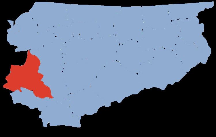
Iława County (Polish: powiat iławski) is a unit of territorial administration and local government (powiat) in Warmian-Masurian Voivodeship, northern Poland. It came into being on January 1, 1999, as a result of the Polish local government reforms passed in 1998. Its administrative seat and largest town is Iława, which lies 65 kilometres (40 mi) west of the regional capital Olsztyn. The county contains four other towns: Lubawa, 34 km (21 mi) south of Iława, Susz, 21 km (13 mi) north-west of Iława, Kisielice, 21 km (13 mi) west of Iława, and Zalewo, 28 km (17 mi) north of Iława.
Contents
Map of I%C5%82awa County, Poland
The county covers an area of 1,385 square kilometres (534.8 sq mi). As of 2006 its total population is 89,960, out of which the population of Iława is 32,326, that of Lubawa is 9,328, that of Susz is 5,610, that of Kisielice is 2,208, that of Zalewo is 2,152, and the rural population is 38,336.
Neighbouring counties
Iława County is bordered by Ostróda County to the east, Działdowo County to the south-east, Nowe Miasto County to the south, Grudziądz County and Kwidzyn County to the west, and Sztum County to the north-west.
Administrative division
The county is subdivided into seven gminas (two urban, three urban-rural and two rural). These are listed in the following table, in descending order of population.