
Car plates NDZ | Area 953.2 km² | |
 | ||
Gminas Total 6 (incl. 1 urban)DziałdowoGmina DziałdowoGmina Iłowo-OsadaGmina LidzbarkGmina PłośnicaGmina Rybno Points of interest Interaktywne Muzeum Państwa, Figloraj Działdowo, Rezerwat przyrody Jar Brynicy, Bagno Koziana | ||
Działdowo County (Polish: powiat działdowski) is a unit of territorial administration and local government (powiat) in Warmian-Masurian Voivodeship, northern Poland. It came into being on January 1, 1999, as a result of the Polish local government reforms passed in 1998. Its administrative seat and largest town is Działdowo, which lies 65 kilometres (40 mi) south of the regional capital Olsztyn. The only other town in the county is Lidzbark, lying 25 km (16 mi) west of Działdowo. (This should not be confused with Lidzbark Warmiński, another town in Warmian-Masurian Voivodeship, which is the seat of Lidzbark County.)
Contents
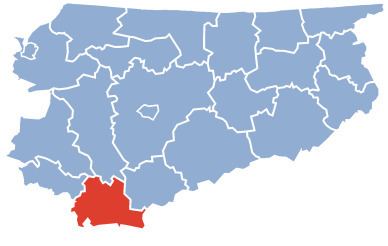
Map of Dzia%C5%82dowo County, Poland
The county covers an area of 953.18 square kilometres (368.0 sq mi). As of 2006 its total population is 65,110, out of which the population of Działdowo is 20,824, that of Lidzbark is 8,261, and the rural population is 36,025.
Neighbouring counties
Działdowo County is bordered by Ostróda County to the north, Nidzica County to the north-east, Mława County to the south-east, Żuromin County to the south-west, Brodnica County and Nowe Miasto County to the west, and Iława County to the north-west.
Administrative division
The county is subdivided into six gminas (one urban, one urban-rural and four rural). These are listed in the following table, in descending order of population.