
Car plates CGR Population 38,424 (2006) | Area 728.4 km² | |
 | ||
Gminas Total 6Gmina GrudziądzGmina GrutaGmina ŁasinGmina Radzyń ChełmińskiGmina RogóźnoGmina Świecie nad Osą Points of interest Bazylika św Mikołaja, Muzeum w Grudziądzu, Twierdza Grudziądz, Brama Wodna, Zespół spichrzy | ||
Grudziądz County (Polish: powiat grudziądzki) is a unit of territorial administration and local government (powiat) in Kuyavian-Pomeranian Voivodeship, north-central Poland. It came into being on January 1, 1999, as a result of the Polish local government reforms passed in 1998. Its administrative seat is the city of Grudziądz, although the city is not part of the county (it constitutes a separate city county). The only towns in Grudziądz County are Łasin, which lies 21 km (13 mi) east of Grudziądz, and Radzyń Chełmiński, 16 km (10 mi) south-east of Grudziądz.
Contents
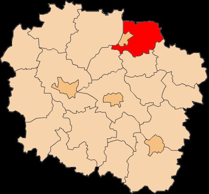
Map of Grudzi%C4%85dz County, Poland
The county covers an area of 728.39 square kilometres (281.2 sq mi). As of 2006 its total population is 38,424, out of which the population of Łasin is 3,276, that of Radzyń Chełmiński is 1,915, and the rural population is 33,233.
Neighbouring counties
Apart from the city of Grudziądz, Grudziądz County is also bordered by Kwidzyn County to the north, Iława County, Nowe Miasto County and Brodnica County to the east, Wąbrzeźno County to the south, and Chełmno County and Świecie County to the west.
Administrative division
The county is subdivided into six gminas (two urban-rural and four rural). These are listed in the following table, in descending order of population.