
Population 1,502 Post town JOHNSTONE Local time Wednesday 7:45 PM | OS grid reference NS401765 Sovereign state United Kingdom Postcode district PA9 Dialling code 01505 | |
 | ||
Weather 11°C, Wind SW at 23 km/h, 83% Humidity UK parliament constituency | ||
Howwood (Scots: The Howewid, Scottish Gaelic: Coille an Dail) is a village in Renfrewshire, Scotland. It is between Johnstone and Lochwinnoch, just off the A737 dual carriageway between the nearby town of Paisley and the Ayrshire border. It is served by Howwood railway station. Its name is listed in the late 19th century Ordnance Gazetteer of Scotland (see: Gazetteer for Scotland) as "Howwood or Hollow-wood", demonstrating the probable origins of its name.
Contents
Map of Howwood, Johnstone, UK
History
Historically part of the civil parish of Lochwinnoch, it now supports its own Community Council.
The chief industry in the village was formerly bleaching and the finishing of cotton cloth and thread, particularly from the mills of Paisley and the other Renfrewshire villages. Two main bleaching works existed at Bowfield and Midtownfield, the former being the last to close in the 1960s.
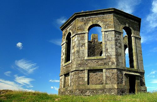
In the hills above Howwood lie the remains of Elliston Castle, a tower house once home to the Semple family. A battle took place between Government forces and Covenanters at Muirdykes on the 18 June 1685, led by the Cochrane family of Johnstone.
The Iron Age hillfort of Walls Hill lies on Whittliemuir with the Walls Loch lying to the west of it.