
- left Lickhole Creek - elevation 1,680 m (5,512 ft) - elevation 265 m (869 ft) | - location Lake Eildon Length 66 km | |
 | ||
- right Black Dog Creek, Little Buller Creek, Stockyard Creek, Dungeon Gully Creek Mouths Goulburn River, Eildon Dam | ||
Campfire bomb howqua river victoria australia
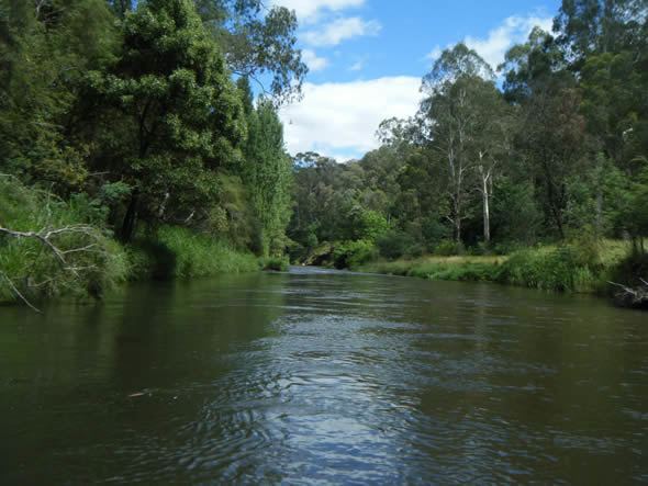
The Howqua River, a minor inland perennial river of the Goulburn Broken catchment, part of the Murray-Darling basin, is located in the alpine region of the Australian state of Victoria. The headwaters of the Howqua River rise below Mount Howitt in the western slopes of the Victorian Alps, and descend to flow into the Goulburn River within Lake Eildon.
Contents
- Campfire bomb howqua river victoria australia
- Map of Howqua River Victoria Australia
- Location and features
- Etymology
- References
Map of Howqua River, Victoria, Australia
Location and features
The river rises below Mount Howitt on the western slopes of the Victorian Alps, within the Alpine National Park in the Shire of Mansfield. The river flow generally west, joined by five minor tributaries, before reaching its confluence with the Goulburn River within Lake Eildon, created by the Eildon Weir. The river descends 1,410 metres (4,630 ft) over its 66-kilometre (41 mi) course.
Etymology
In the Aboriginal Woiwurrung and Daungwurrung languages, the river is named Pyerlite, with no clearly defined meaning.
There are four possible origins of the river's current name: firstly, after John "Howka" Hunter (1820–68), a pastoralist; secondly, a portmanteau name from Mount Howitt, where the river rises, and aqua; thirdly, after Howqua, a popular brand of Chinese tea in the early nineteenth century; and fourthly, after Akin Howqua (Ah Kin Wowqua), a Chinese surveyor and early resident of Melbourne.