
Elevation 3,368 m | Prominence 337 m | |
 | ||
First ascent about 1840 by Cardinal Frederick, Prince of Schwarzenberg, with a small company Normal route from the Gleiwitz Hut via Kempsenkopf, Hirzbachtörl and the northwest ridge to the summit Similar Großes Wiesbachhorn, Klockerin, Kempsenkopf, Hinterer Bratschenkopf, Hohe Dock | ||
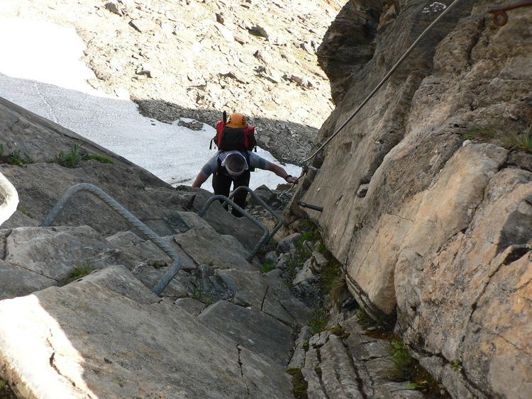
The Hoher Tenn, formerly also called the Hochtenn, is a double-peaked mountain in the Austrian federal state of Salzburg. It has a southwest summit, called the Bergspitze with a height of 3,368 metres, and a northeast summit, the Schneespitze, which is 3,317 metres high. The Tenn belongs to the Glockner Group in the central part of the High Tauern in the Austrian Central Alps. Between the two summits at a height of 3,293 metres is the Tenn Saddle (Tennsattel). Long knife-edge ridges run away to the northeast and northwest. It has a large topographical prominence, especially to the north, which, together with its easy accessibility, make it a popular climbing mountain. Seen from Zell am See in the Pinzgau it is second only to the Imbachhorn (2,470 m) in dominating the Tauern panorama.
Contents
Map of Hoher Tenn, 5672 Fusch, Austria
History
The Hoher Tenn was first ascended, according to unconfirmed sources, in the 1840s by Cardinal Frederick, Prince of Schwarzenberg "with a small company" (in kleiner Gesellschaft). The first documented crossing of both summits was on 16 August 1871 by the furrier, Albert Kaindl, from Linz and Josef Pöschl from Vienna with mountain guide, Johann Grill, known as the Kederbacher. That said, the party found trigonometric signs on both peaks that must have been made in the 1850s as part of the state survey.