
Elevation 3,348 m | ||
 | ||
First ascent ca. 1842 - 1845 G. Mayer (Badhans) during a hunt Similar Klockerin, Großer Bärenkopf, Großes Wiesbachhorn, Hinterer Bratschenkopf, Fuscherkarkopf | ||
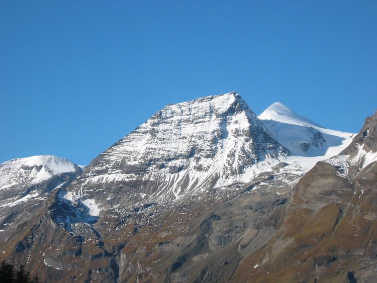
The Hohe Dock lies in the Austrian federal state of Salzburg and, at 3,348 metres, is one of the highest peaks in the Glockner Group. The mountain, with its striking trapezoidal shape, dominates the orographically left-hand side of the valley of the Fuscher Ache and the panorama above the northern ramp of the Großglockner High Alpine Road.
Contents
Map of Hohe Dock, 5672 Fusch, Austria
Its secondary peak, the southeastern summit, reaches a height of 3,268 m (AA).
Climbing route
The start point is the head of the valley at Fusch an der Großglocknerstraße (Ferleiten). The summit is ascended via the Schwarzenberg Hut (2,267 m) along a signed, high alpine path.
References
Hohe Dock Wikipedia(Text) CC BY-SA