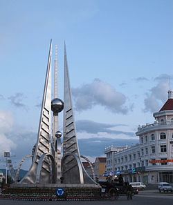
Area 59,806 km² Local time Sunday 7:40 AM | League Seat of Government Ulanhot Elevation 274 m Population 1.613 million (2010) | |
 | ||
Country People's Republic of China Weather -2°C, Wind NW at 24 km/h, 41% Humidity Points of interest A'ershan National Forest Park, Dujuan Lake, Arxan Forest Park, Inner Mongolia National, Wuliquan | ||
Hinggann or Xīng'ān (Mongolian: ᠬᠢᠩᠭ᠋ᠠᠨ ᠠᠶᠢᠮᠠᠭ Qiŋɣan ayimaɣ, Хянган аймаг; Chinese: 兴安盟) is a League (a prefecture-level administrative division) of Inner Mongolia, China. It borders Hulun Buir to the north, the independent state of Mongolia and Xilingol League to the west, Tongliao to the south and the provinces of Jilin and Heilongjiang to the east. The name is derived from the Greater Khingan mountain range that crosses the league from the northwest to the southeast.
Contents
Map of Hinggan, Inner Mongolia, China
Administrative Subdivisions
Hinggan league is divided into 2 county-level cities, 1 county and 3 banners:
Demographics
In 2000, Hinggan League had 1,588,787 inhabitants (26.57 per km²).
Literature
References
Hinggan League Wikipedia(Text) CC BY-SA
