
Population 1,697 (2011) Sovereign state United Kingdom Local time Saturday 11:06 AM | OS grid reference SJ328613 Country Wales Postcode district CH4 Dialling code 01244 Post town Chester | |
 | ||
Weather 12°C, Wind SE at 19 km/h, 84% Humidity | ||
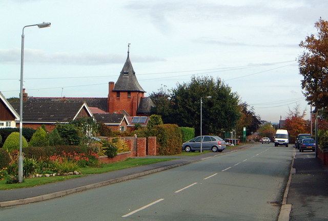
Higher Kinnerton is a residential village within rural Flintshire, Wales. The area is an electoral ward for Flintshire County Council close to the English Border. Its sister village, Lower Kinnerton is on the other side of the border in Cheshire, England.
Contents
Map of Higher Kinnerton, Chester, UK
Education
The village has a primary school, Ysgol Derwen School. The local secondary school is Castell Alun High School, located in Hope.
Amenities
The village has a post office, a shop, and two public houses, The Swan and The Royal Oak. The parish church is All Saints, which is actually in the parish of Dodleston, England. There is a scout group called 1st Kinnerton Scouts. There is also a Village Hall which hosts various community clubs & events. There is a primary school 5-11 Ysgol Derwen. The nearest 11-18 schools are Castell Alun in Hope & Hawarden High School in Hawarden.
The village has a progressive community council which supports village activities. The village was awarded Best Kept Village status in 2012 and again in 2014.