
Population 4,224 (2011 Census) Sovereign state United Kingdom Local time Tuesday 2:49 PM | OS grid reference SJ30705723 Country Wales Postcode district LL12 Dialling code 01978 | |
 | ||
Weather 14°C, Wind W at 21 km/h, 68% Humidity | ||
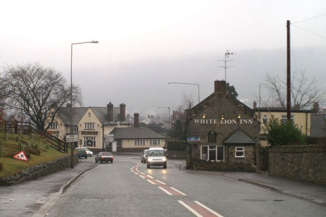
Hope (Welsh: Yr Hob) is a small village in Flintshire, north-east Wales. The village is located approximately 3 miles / 4.5 km from the Wales-England border, on the course of the River Alyn.
Contents
Map of Hope, UK
Yr Hob was originally the name of a commote within the cantref of Maelor in the medieval Kingdom of Powys.
Hope belongs to a small group of closely related villages in its local area, including Caergwrle, Abermorddu and Cefn-y-bedd. One of the major features in the area is Hope Mountain (Mynydd yr Hob), to the west of the village, along with the extensive farmland of Shordley. At the 2001 Census, the population was 2,522, increasing to 4,224 at the 2011 Census.
In 2007, the secondary school Castell Alun High, which is located in the village, became the only school in North Wales to be awarded 7 Grade 1s by Estyn, the school inspection service for Wales. The judgement makes Castell Alun one of the top schools in Wales.
Hope has good transport links with local towns and cities, notably Wrexham, Chester and Mold, with the Borderlands Line running directly through Hope railway station giving access to Liverpool via the Wirral Peninsula.
Hope has a library, a sports centre and football, cricket and rugby union clubs.
The village's name has given rise to the local expression "Live in Hope, die in Caergwrle".
Governance
An electoral ward in the same name exists. This ward had a population of 2,605 at the 2011 census.