
Population 136 (2011) Civil parish Lower Kinnerton | OS grid reference SJ338621 Dialling code 01244 Post town Chester | |
 | ||
Unitary authority | ||
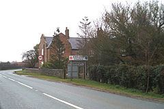
Lower Kinnerton is a village and civil parish in the unitary authority of Cheshire West and Chester and the ceremonial county of Cheshire, situated on the border between England and Wales. It has a population of 119, increasing to 136 at the 2011 census. The village is located south of Broughton and to the north west of the parish and village of Dodleston. The neighbouring village of Higher Kinnerton is across the border in Flintshire.
Map of Lower Kinnerton, Chester, UK
Lower Kinnerton has a few houses and farms. It also is home to a local Kennel and Cattery, Warren Wood Kennels and Cattery.
The population was 97 in 1801, 94 in 1851, 127 in 1901 and 142 in 1951.
References
Lower Kinnerton Wikipedia(Text) CC BY-SA