
State/Province DE-TH Mountain type Muschelkalk | Parent range Reinsberge Elevation 605 m | |
 | ||
Similar Veronikaberg, Hohe Warte, Pörlitzer Höhe, Kickelhahn, Großer Beerberg | ||
The Heydaer Berg between Plaue and Ilmenau in the Thuringian county of Ilm-Kreis is a hill ridge of the Reinsberge which reaches its highest point at the Halskappe which is 605.4 m above sea level (NHN),, shortly before the better known Reinsburg (604.1 m).
Contents
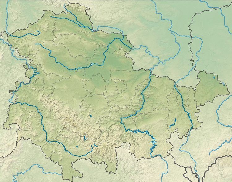
Map of Heydaer Berg, 99338 Plaue, Germany
Geography and geology
The Heydaer Berg, located at the southern end of the Reinsberge and northeast end of the Heydaer Berg, lies between Schmerfeld to the northeast, Heyda to the southeast, Martinroda to the southwest and Neusiß to the northwest. It is about 4 kilometres long and a maximum of about 1 kilometre wide. Its southern continuation is the Veronikaberg (552.2 m) which rises adjacent to the Reinsberge to the south. The hill is a muschelkalk formation and lies on the southeast boundary of the Ohrdruf Plateau facing the Paulinzella Foreland.
Summit
The Halskappe rises above the confluence (327.4 m) of the Zahmer and Wilder Gera in Plaue by around 278 metres, the Prolle (406.4 m) to the southeast by around 199 metres and the Heyda Reservoir (maximum surface elevation 416.6 m) by around 188.8 m. Its topographic isolation is about 7 kilometres, extending to the Thuringian Forest to the southwest, and it has a prominence of just under 170 m.