Elevation 275 m (902 ft) Area 5.89 km² Population 210 (31 Dec 2008) Dialling code 034496 | Time zone CET/CEST (UTC+1/+2) Local time Friday 9:27 PM Postal code 04626 | |
 | ||
Weather 4°C, Wind W at 6 km/h, 77% Humidity | ||
Heukewalde is a German municipality in the Thuringian Landkreis of Altenburger Land. It belongs to the Verwaltungsgemeinschaft of Oberes Sprottental.
Contents
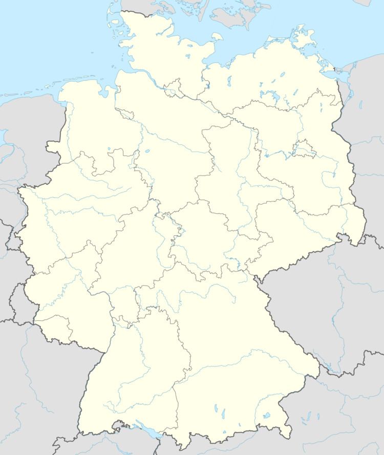
Map of 04626 Heukewalde, Germany
Neighboring Municipalities
Communities near Heukewalde include: Jonaswalde, Posterstein, and Vollmershain in the Landkreis of Altenburger Land; as well as Rückersdorf und Paitzdorf in the Landkreis of Greiz.
History
Heukewalde was first mentioned in writing on December 9, 1152. From 1826 to 1920, it belonged to Saxe-Altenburg.
Mayors
Bernhard Göpel, mayor from 1892 to 1917.
References
Heukewalde Wikipedia(Text) CC BY-SA
