Elevation 190 m (620 ft) Area 6.65 km² Local time Monday 11:16 AM Dialling code 034496 | Time zone CET/CEST (UTC+1/+2) Postal code 04626 Population 345 (31 Dec 2008) | |
 | ||
Weather 6°C, Wind S at 8 km/h, 55% Humidity | ||
Jonaswalde is a municipality in the Thuringian district of Altenburger Land. It belongs to the Verwaltungsgemeinschaft of Oberes Sprottental.
Contents
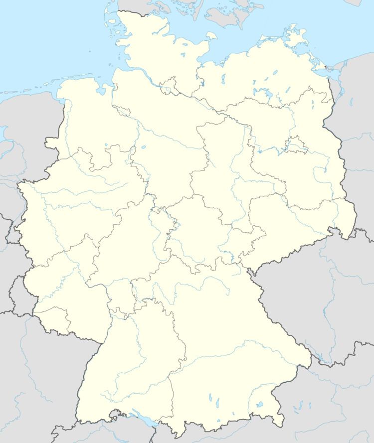
Map of 04626 Jonaswalde, Germany
Neighboring municipalities
Nearby municipalities are Heukewalde, Thonhausen, and Vollmershain in the district of Altenburger Land; Rückersdorf in the district of Greiz; as well as the city of Crimmitschau in the Saxon district of Zwickauer Land.
Municipal arrangement
The community is divided into two subdivisions: Jonaswalde and Nischwitz.
History
From 1826-1920, Jonaswalde was part of Saxe-Altenburg.
References
Jonaswalde Wikipedia(Text) CC BY-SA
