
Elevation 1,254 m | First ascent unclimbed | |
 | ||
People also search for Plana Peak, Great Needle Peak, Levski Peak, Deception Island | ||
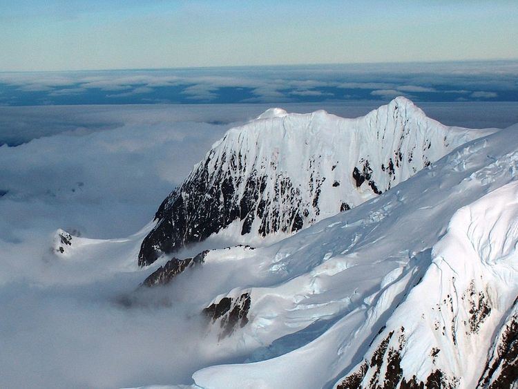
Helmet Peak is a conspicuous peak rising to 1,254 metres (4,114 ft) in Levski Ridge, Tangra Mountains on Livingston Island in the South Shetland Islands, Antarctica just southward of the mouth of Huron Glacier. It is bounded by Devnya Valley to the west, Iskar Glacier to the northeast, and Magura Glacier to the southeast, and has precipitous west and east slopes. It was named by Discovery Investigations personnel during the period 1926–32.
Contents
Map of Helmet Peak, Antarctica
Location
The peak is located at (62°40′11″S 60°03′15″W) which is 2.15 km northeast of Great Needle Peak, 1.66 km east-southeast of Tutrakan Peak, 1.39 km south of Intuition Peak, 1.17 km west of Plovdiv Peak and 2.8 km north of Radichkov Peak.
Maps
References
Helmet Peak (Livingston Island) Wikipedia(Text) CC BY-SA