
Country United States GNIS feature ID 453401 Area 108.8 km² Population 1,626 (2010) | ZIP codes 47601, 47619 Elevation 134 m Local time Friday 6:50 AM | |
 | ||
Weather 7°C, Wind S at 14 km/h, 51% Humidity | ||
Hart Township is one of ten townships in Warrick County, Indiana, United States. As of the 2010 census, its population was 1,626 and it contained 691 housing units.
Contents
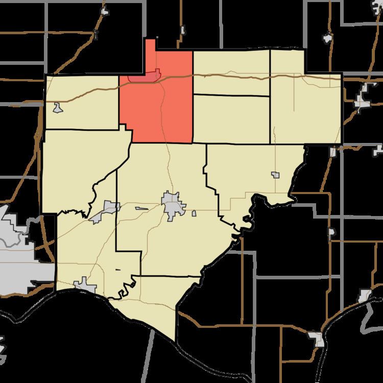
- Map of Hart Township IN USA
- History
- Geography
- Cities towns villages
- Unincorporated towns
- Adjacent townships
- Cemeteries
- School districts
- Political districts
- References
Map of Hart Township, IN, USA
History
Hart Township was organized in 1826. The township was named for John Hart, a local judge.
Geography
According to the 2010 census, the township has a total area of 41.99 square miles (108.8 km2), of which 41.24 square miles (106.8 km2) (or 98.21%) is land and 0.75 square miles (1.9 km2) (or 1.79%) is water.
Cities, towns, villages
Unincorporated towns
(This list is based on USGS data and may include former settlements.)
Adjacent townships
Cemeteries
Hart township contains these six cemeteries: Lynnville, Massey, Morrison, Mount Olive, Mt. Zion, and Turpin Hill Cemetery
School districts
Political districts
References
Hart Township, Warrick County, Indiana Wikipedia(Text) CC BY-SA