
Country United States GNIS feature ID 453356 Area 71.33 km² Population 1,883 (2010) | ZIP codes 47613, 47619, 47639 Elevation 120 m Local time Thursday 11:38 PM | |
 | ||
Weather 11°C, Wind N at 16 km/h, 65% Humidity | ||
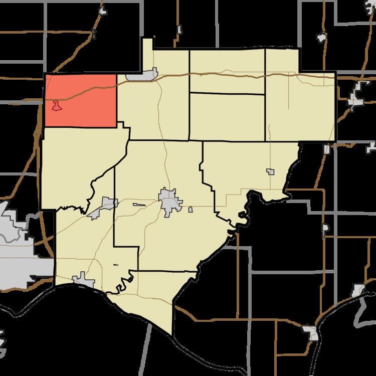
Greer Township is one of ten townships in Warrick County, Indiana, United States. As of the 2010 census, its population was 1,883 and it contained 769 housing units.
Contents
- Map of Greer Township IN USA
- History
- Geography
- Cities towns villages
- Unincorporated towns
- Adjacent townships
- Cemeteries
- School districts
- Political districts
- References
Map of Greer Township, IN, USA
History
Greer Township was organized in 1853. The township was named for Richard Greer, a pioneer settler.
Geography
According to the 2010 census, the township has a total area of 27.54 square miles (71.3 km2), of which 27.17 square miles (70.4 km2) (or 98.66%) is land and 0.37 square miles (0.96 km2) (or 1.34%) is water.
Cities, towns, villages
Unincorporated towns
(This list is based on USGS data and may include former settlements.)
Adjacent townships
Cemeteries
The township contains these four cemeteries: Northview, Susott, Williams and Zion.
School districts
Political districts
References
Greer Township, Warrick County, Indiana Wikipedia(Text) CC BY-SA