
Area 5,947 km² | Website Official website Literacy 68.9% Lok sabha constituencies Hardoi, Misrikh | |
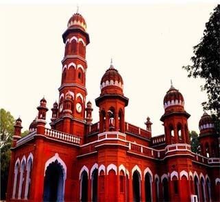 | ||
University Arya Kanya Degree College, Hardoi | ||
iri himgiri express skipping hardoi and overtaking bareilly payag passenger
Hardoi district is a district of Uttar Pradesh, India, and Hardoi town is the district headquarters. Hardoi district is a part of Lucknow division.
Contents
- iri himgiri express skipping hardoi and overtaking bareilly payag passenger
- Map of Hardoi Uttar Pradesh
- National protected area
- Economy
- Divisions
- Demographics
- References
Map of Hardoi, Uttar Pradesh
National protected area
Economy
In 2006 the Ministry of Panchayati Raj named Hardoi one of the country's 250 most backward districts (out of a total of 640). It is one of the 34 districts in Uttar Pradesh currently receiving funds from the Backward Regions Grant Fund Programme (BRGF).
Divisions
Hardoi district has five tehsils - Hardoi, Shahabad, Sawayajpur, Bilgram and Sandila. These tehsils consist of 19 blocks (Ahirori, Hariyava, Sursa, Shahabad, Bharkhani, Bharavan, Harpalpur, Bilgram, Madhoganj, Mallavan, Tadiyavan, Todarpur, Kothavma, Sandila, Behndar, Pihani, Sandi, Kachona, Bavan), 191 Nyay panchayat, 1101 gram sabha and 1983 revenue villages (1883 of them are inhabited). The district has seven nagar palika parishads (Municipal boards) and six Nagar Panchayats.
This district is a district of the Lucknow Commissionary in Uttar Pradesh Province of India, it is situated in between 26-53 to 27-46 north latitude and 79-41 to 80-46 east longitude. Its north border touches Shahjahanpur district and Lakhimpur Kheri district. Lucknow (capital of U.P.) and Unnao are situated at the southern border. The western border touches Kanpur (industrial city of U.P.) and Farrukhabad district and on the eastern border the Gomati River separates the district from the Sitapur district. 'Nemisharayan, the Pilgrim of Dwapar age' is just 45 km from district headquarters. The length of this district from northwest to southeast is 125.529 km and width from east to west is 74.83 km., the area 5947 km2.
Demographics
According to the 2011 census Hardoi district has a population of 4,091,380, roughly equal to the nation of Lebanon or the US state of Oregon. This gives it a ranking of 51st in India (out of a total of 640). The district has a population density of 683 inhabitants per square kilometre (1,770/sq mi) . Its population growth rate over the decade 2001-2011 was 20.39%. Hardoi has a sex ratio of 856 females for every 1000 males, and a literacy rate of 68.89%.
In 1901, the population of Hardoi district was 1,092,834 and Hardoi had 12,174 inhabitants. By the time, the main city was Shahabad with 20,036 inhabitants, Mallanwan 11,158.