Coordinates (East end) (West end) Length 235 km | Type Highway | |
 | ||
Route number(s) B140 (1998-present)Entire route West end Glenelg HighwayHamilton, Victoria Major settlements Penshurst, Mortlake, Lis, Cressy, Fyansford | ||
The Hamilton Highway in western Victoria, Australia (state route B140) runs from the Princes Highway in Geelong west to the town of Hamilton through the towns of Inverleigh, Cressy, Lismore, Derrinallum, Darlington, Mortlake, and Penshurst.
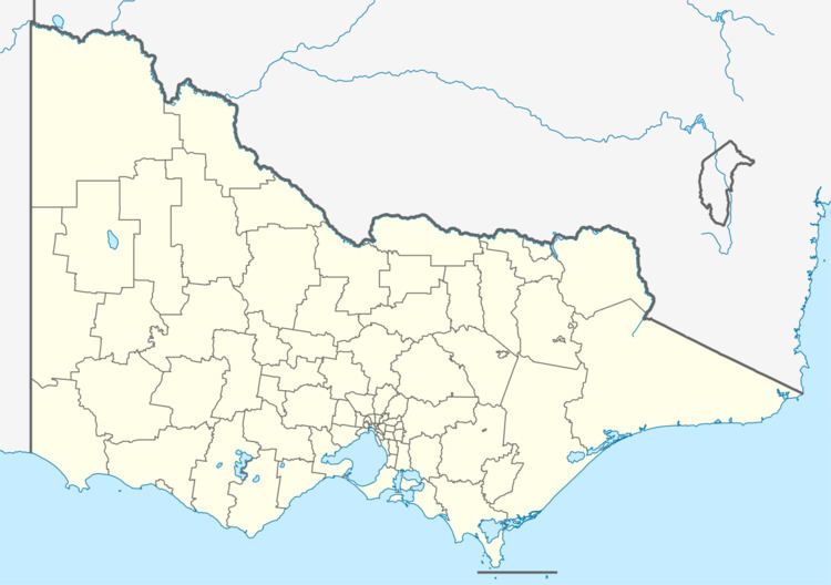
Map of Hamilton Hwy, Victoria, Australia
The Geelong end of the highway was once routed along Hyland Street Fyansford, until the construction of Deviation Road between 1931-32 with unemployment labour during the Great Depression. Opened in 1933, it was cut into the hillside, the surface was originally of concrete construction. The road opened 54 years after the first petition by Fyansford residents for such a road.
In Hamilton, the Glenelg Highway continues across the South Australian border to Mount Gambier rendering the Hamilton Highway a popular alternative route for the Melbourne to Mount Gambier trip (being roughly 50 km shorter than a trip down Highway 1).
