
Population 715 (2011 census) Postal code 3321 | Postcode(s) 3321 Inverleigh MurghebolucGnarwarre Local time Wednesday 10:03 AM | |
 | ||
LGA(s) Golden Plains ShireSurf Coast Shire Weather 26°C, Wind N at 21 km/h, 47% Humidity | ||
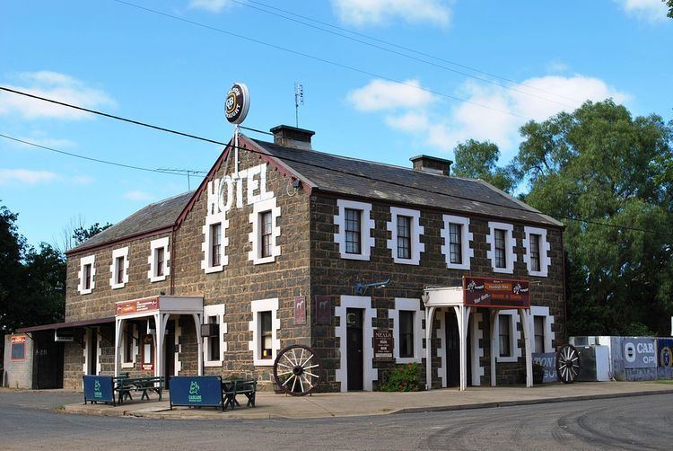
Inverleigh is a small rural township in Victoria, Australia located 28 kilometres (17 mi) west from the City of Geelong and 87 kilometres (54 mi) from the state capital, Melbourne. The town is divided between Golden Plains Shire and Surf Coast Shire. In the 2011 census, the central area of Inverleigh had a population of 715.
Contents
Map of Inverleigh VIC 3321, Australia
Since the mid-1970s Inverleigh has become a dormitory suburb of Geelong with some residents commuting to Melbourne. The recent opening of the Geelong Ring Road will improve access to Melbourne which should be only a 45-minute drive away.
History
Very little has been recorded of the original inhabitants of the area. The few records available are reports of conflict. In the summer of 1837-38 a band of aborigines attacked the lower station of the Clyde Company (near Lullote) with two aborigines being killed and another injured and in 1839 George Russell reported natives sheep duffing.
It has been speculated that the first European to arrive in Inverleigh was William Buckley, but the first European known to have visited Inverleigh was the surveyor J.H. Wedge who arrived in 1835, probably naming the Leigh River after his Tasmanian farm 'Leighlands'.
Very soon thereafter the Weatherboard Station land was taken up either by George Russell or by station manager David Fisher on behalf of The Derwent Company. It was claimed that the weatherboard homestead built by the station manager was Victoria's first weatherboard homestead. The name of the station is now commemorated by Weatherboard Road.
Inverleigh Primary School began as a Presbyterian church school in 1865 and was taken over by the Victorian government in 1873. A residence was built at the school in 1912, while the school was extended in 1956. The school had 170 students in 2015.
A second school, Murkeduke State School, opened south-west of the township on 10 September 1917 and closed on 2 August 1932.
The Post Office opened on 11 October 1856.
The Prefabricated Iron Cottage at 24 Weatherboard Road, Inverleigh, is listed on the Victorian Heritage Register for its historical and architectural significance.
The town today
The town has an Australian Rules football team competing in the Geelong & District Football League.
The town also has a lawn bowling club with one synthetic green.
Golfers play at the course of the Inverleigh Golf Club on Common Road.
The railway station is closed to passengers, being a siding on the Western standard gauge line between Melbourne and Adelaide. Inverleigh is 104 kilometres (65 mi) from Melbourne by rail.