
Length 150 km | ||
 | ||
Towns: AtokBakunBaukoBokodBontocBuguiasKabayanLa TrinidadMankayanSabanganSagadaTublay | ||
Halsema highway from baguio to sagada may 6 2013
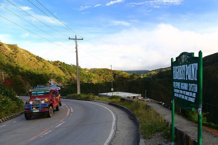
Halsema Highway (also known as the Benguet-Mountain Province Road, Baguio-Bontoc Road or Mountain Trail) is a national highway in the Philippines. Situated within the Cordillera Central range in northern Luzon, it stretches from the city limit of Baguio to the municipality of Bontoc. At its highest point at 7,400 feet (2,300 m) above sea level in the municipality of Atok, it is the highest altitude highway in the Philippines.
Contents
- Halsema highway from baguio to sagada may 6 2013
- Map of Halsema Highway Philippines
- Amazing halsema highway philippines
- History
- Hazards
- References
Map of Halsema Highway, Philippines
The 150-kilometre (93.2 mi) highway covers 95 kilometres (59 mi) of Benguet province and traverses eight of its municipalities (La Trinidad, Tublay, Atok, Bokod, Kabayan, Buguias, Bakun, and Mankayan). It also covers four Mountain Province towns (Bauko, Sabangan, Bontoc, and Sagada). The road splits into two upon reaching the village of Dantay, in Bontoc. One road leads to downtown Bontoc, while the other leads to the town of Sagada, 29 kilometres (18.0 mi) farther from the junction.
Amazing halsema highway philippines
History
The highway was named after an American engineer, named Eusebius Julius Halsema, who served as the mayor of Baguio City from 1920-1937. Under Halsema's term, its construction commenced in 1922 with the help of locals and was completed in 1930 as a foot trail.
Hazards
Parts of the highway are dangerous, especially during the rainy season, when landslides are common and asphalted portions become slippery.
In March 2013, List25 included the highway at #9 in its 25 Most Dangerous Roads in the World.
It was shown in Discovery World's show, Hot Roads - World's Most Dangerous Roads.