
Barangays Area 275 km² | Founded 1960 Time zone PST (UTC+8) Local time Monday 3:38 PM | |
 | ||
Weather 24°C, Wind W at 2 km/h, 80% Humidity Neighborhoods Barangay Tinongdan, Ansipsip, Ambuklao Dam | ||
Pinshang band of bokod benguet singing their original composition
Bokod, officially the Municipality of Bokod (Ilocano: Ili ti Bokod; Filipino: Bayan ng Bokod), is a municipality in the province of Benguet in the Cordillera Administrative Region (CAR) of the Philippines. The population was 13,756 at the 2015 census. In the 2016 electoral roll, it had 9,025 registered voters.
Contents
- Pinshang band of bokod benguet singing their original composition
- Map of Bokod Benguet Philippines
- Pre colonial and Spanish periods
- American period
- Post war era
- Geography
- Barangays
- Demographics
- Public schools
- Universities
- Private schools
- References
Map of Bokod, Benguet, Philippines
Pre-colonial and Spanish periods
According to folklore, Bokod, once a heavily-forested village, got its name from a man named Ebokot (or Ekbot), who introduced agricultural development to the area. Ebokot's name was associated with the village and was registered as a pueblo during the Spanish Regime.
American period
Bokod was established as one of the 19 townships of Benguet during the American Rule with the enactment of Act No. 48 on November 22, 1900.
On August 13, 1908, Benguet was established as a sub-province of the newly created Mountain Province with the enactment of Act No. 1876. As a result, six townships of Benguet were abolished, among them were Ambuklao and Daclan which were integrated into the township of Bokod.
Post-war era
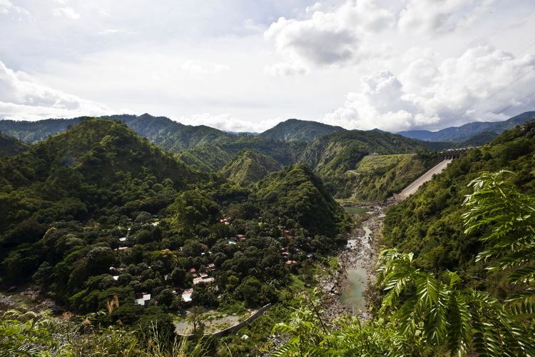
One of the principal infrastructure in Bokod is the Ambuklao Dam. Built in 1950 and opened in 1956, it is one of the most important hydroelectric facilities in Luzon.
On June 25, 1963, President Diosdado Macapagal issued Executive Order No. 42 converting eight (8) of the thirteen (13) towns (designated as municipal districts) of Benguet sub-province into regular municipalities. Bokod was among them.
On June 18, 1966, the sub-province of Benguet was separated from the old Mountain Province and was converted into a regular province. Bokod remained to be a component municipality of the newly established province.
Geography
Bokod is located at 16°30′N 120°50′E. It is bounded by Kabayan on the north-east, Atok on the north-west, Tublay on the mid-west, Itogon on the south-west, and Kayapa on the east.
According to the Philippine Statistics Authority, the municipality has a land area of 274.96 square kilometres (106.16 sq mi) constituting 7000993000000000000♠9.93% of the 2,769.08-square-kilometre- (1,069.15 sq mi) total area of Benguet.
Barangays
Bokod is politically subdivided into 10 barangays.
Demographics
In the 2015 census, Bokod had a population of 13,756. The population density was 50 inhabitants per square kilometre (130/sq mi).
In the 2016 electoral roll, it had 9,025 registered voters.
Public schools
As of 2014, Bokod has 37 public elementary schools and 3 public secondary schools.