
Country United States GNIS feature ID 453362 Local time Wednesday 1:06 AM | FIPS code 18-30456 Elevation 188 m Population 1,281 (2010) | |
 | ||
Weather -4°C, Wind NW at 11 km/h, 66% Humidity Area 94.92 km² (86.4 km² Land / 8.495 km² Water) | ||
Hall Township is one of twelve townships in Dubois County, Indiana. As of the 2010 census, its population was 1,281 and it contained 489 housing units.
Contents
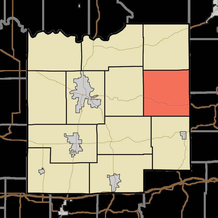
- Map of Hall Township IN USA
- Geography
- Unincorporated towns
- Adjacent townships
- Major highways
- Cemeteries
- References
Map of Hall Township, IN, USA
Geography
According to the 2010 census, the township has a total area of 36.65 square miles (94.9 km2), of which 33.36 square miles (86.4 km2) (or 91.02%) is land and 3.28 square miles (8.5 km2) (or 8.95%) is water.
Unincorporated towns
(This list is based on USGS data and may include former settlements.)
Adjacent townships
Major highways
Cemeteries
The township contains two cemeteries: Adkins and Bailey.
References
Hall Township, Dubois County, Indiana Wikipedia(Text) CC BY-SA