
Country United States County Dubois "Where Faith & Community Unite" 1843 Elevation 181 m Local time Tuesday 5:14 AM | State Indiana Founded by Fr. Joseph Kundek Population 250 (2008) Area code 812 | |
 | ||
Weather 15°C, Wind S at 24 km/h, 77% Humidity | ||
Orvtpa west region celestine indiana august 28 2011
Celestine is an unincorporated community in Hall Township, Dubois County, in the U.S. state of Indiana.
Contents
- Orvtpa west region celestine indiana august 28 2011
- Map of Celestine IN USA
- Federal signal 2001 srn full alert celestine indiana tornado siren test
- History
- Schools
- Geography
- Climate
- References
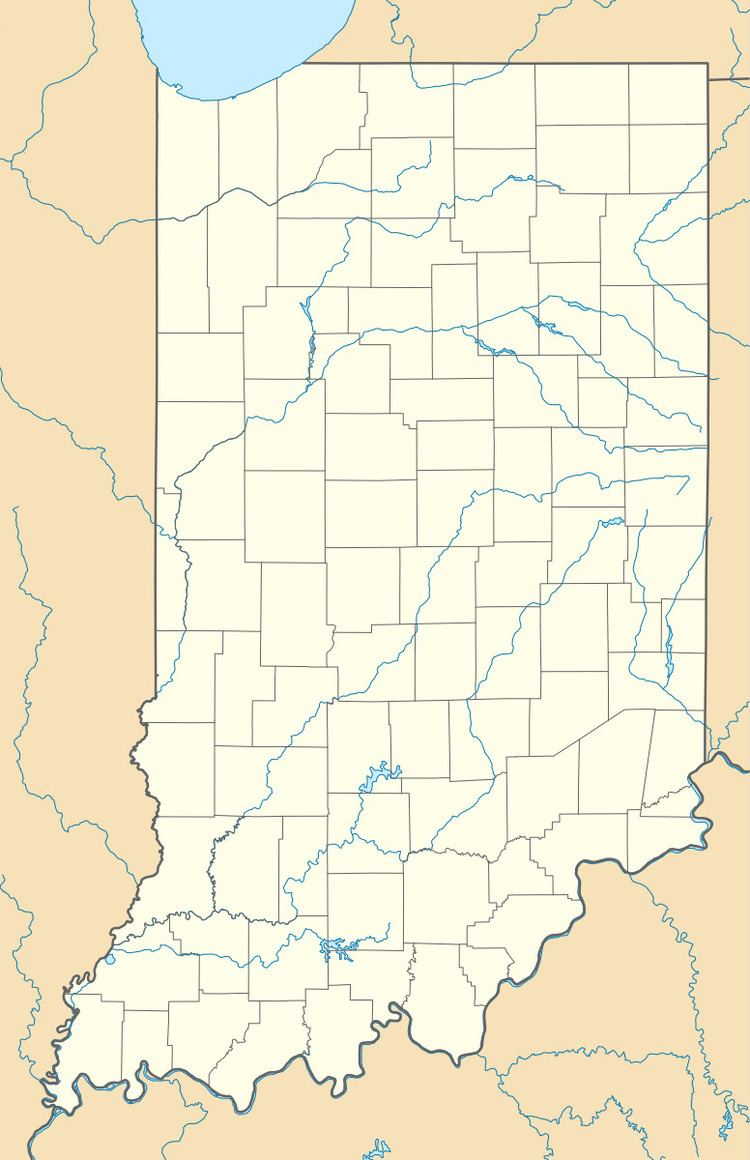
Map of Celestine, IN, USA
In 2008, the estimated population of Celestine was 250. The community is home to a Roman Catholic church.
Federal signal 2001 srn full alert celestine indiana tornado siren test
History
Celestine was platted in 1843. It was named for Rt. Rev. Celestine Rene Lawrence De La Hailandiere, second bishop of the Roman Catholic Diocese of Vincennes, Indiana. The Celestine post office was established in 1851.
On February 28, 2011, a tornado touched down and damaged two homes and a double-wide trailer, the National Weather Service stated.
Schools
Celestine is home to Celestine Elementary School. After students complete elementary school, They then attend the Northeast Dubois Middle School to Highschool.
Geography
Celestine is located at 38°23′05″N 86°46′45″W.
Climate
The climate in this area is characterized by hot, humid summers and generally mild to cool winters. According to the Köppen Climate Classification system, Celestine has a humid subtropical climate, abbreviated "Cfa" on climate maps.