
Elevation 158 m Local time Tuesday 9:36 AM | GNIS feature ID 453360 Area 185.1 km² Population 3,987 (2010) | |
 | ||
ZIP codes 47561, 47838, 47865, 47882 Weather -3°C, Wind N at 23 km/h, 72% Humidity | ||
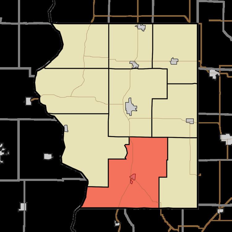
Haddon Township is one of nine townships in Sullivan County, Indiana, United States. As of the 2010 census, its population was 3,987 and it contained 834 housing units.
Contents
- Map of Haddon Township IN USA
- Geography
- Cities towns villages
- Unincorporated towns
- Adjacent townships
- Cemeteries
- Major highways
- School districts
- Political districts
- References
Map of Haddon Township, IN, USA
Geography
According to the 2010 census, the township has a total area of 71.47 square miles (185.1 km2), of which 71.22 square miles (184.5 km2) (or 99.65%) is land and 0.25 square miles (0.65 km2) (or 0.35%) is water.
Cities, towns, villages
Unincorporated towns
(This list is based on USGS data and may include former settlements.)
Adjacent townships
Cemeteries
The township contains these twenty two cemeteries: Bethlehem, Benefiel, Booker, Boone, Dooley, Engle, Haddon, Harper, Independent Order of Odd Fellows, Land, Ledgerwood, Lewis, McCammon, Old Town, Providence, Purcell, Skidmore, Snyder, Trimble, Vester and Walters & Lowdermilk
Major highways
School districts
Political districts
References
Haddon Township, Sullivan County, Indiana Wikipedia(Text) CC BY-SA