
Country United States Time zone CST (UTC-6) Elevation 170 m Local time Friday 11:18 PM | Established June 21, 1869 ZIP codes 62427, 62451, 62454 Area 141.2 km² Population 672 (2010) | |
 | ||
Weather 6°C, Wind W at 3 km/h, 97% Humidity | ||
Montgomery Township is one of ten townships in Crawford County, Illinois, USA. As of the 2010 census, its population was 672 and it contained 301 housing units.
Contents
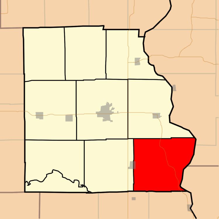
- Map of Montgomery Township IL USA
- Geography
- Cities towns villages
- Unincorporated towns
- Cemeteries
- Major highways
- School districts
- Political districts
- References
Map of Montgomery Township, IL, USA
Geography
According to the 2010 census, the township has a total area of 54.5 square miles (141 km2), of which 54.04 square miles (140.0 km2) (or 99.16%) is land and 0.45 square miles (1.2 km2) (or 0.83%) is water. The Wabash River defines its eastern border.
Cities, towns, villages
Unincorporated towns
(This list is based on USGS data and may include former settlements.)
Cemeteries
The township contains these twenty-three cemeteries: Allen, Baker, Bartmess, Bennett, Dickerson, Ferrell, Ford, Fuller, Ganies, Green, Green Hill, Hale, Higgins, Johnson, Lackey, Maddox, Morea, Norton, Pleasant View, Seaney, Shaw, Tobey and Wesley Chapel.
Major highways
School districts
Political districts
References
Montgomery Township, Crawford County, Illinois Wikipedia(Text) CC BY-SA