Population 10,790 (2011) | Time zone IST (UTC+5:30) Lok Sabha constituency Barasat, Bangaon Local time Tuesday 9:12 PM | |
 | ||
Weather 22°C, Wind NE at 0 km/h, 62% Humidity | ||
Machhlandapur (also spelled Machlandapur) is a census town in Habra I CD Block in Barasat sadar subdivision in North 24 Parganas district in the Indian state of West Bengal. Habra police station serves this block. It is 54 km from Sealdah Station on the Sealdah-Bangaon branch line of Eastern Railway. It is part of the Kolkata Suburban Railway system.
Contents
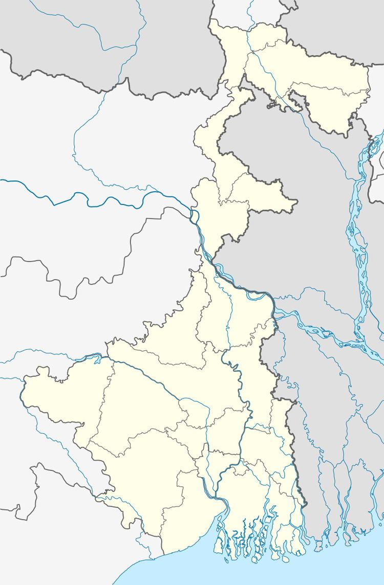
Map of Maslandapur, West Bengal 743289
Demographics
As per 2011 Census of India Machhlandapurr had a total population of 10,790, of which 5,519 (51%) were males and 5,271 (49%) were females. Population below 6 years was 879. The total number of literates in Machhlandapurr was 8,708 (85.58 % of the population over 6 years).
As of 2001 India census, Machhlandapurr had a population of 9,706. Males constitute 51% of the population and females 49%. Machhlandapurr has an average literacy rate of 78%, higher than the national average of 59.5%: male literacy is 84%, and female literacy is 72%. In Machhlandapurr, 9% of the population is under 6 years of age.
Transport
Machhlandapurr is 54 km from Sealdah Station on the Sealdah-Bangaon branch line. It is also well connected by road to Habra, Barasat, Bongaon, Tentulia and Basirhat.
Schools
Machhlandapurr Bhudeb Smriti Balika Vidyalaya is a higher secondary girls school in Machhlandapurr. Rajballavpur Higher secondary School and Dhakshin Chatra High School is a Higher Secondary School Boys school in Machhlandapurr.
"Bandhan Academy" is a Primary School for Girls and Boys of middle and low income families aiming to provide life centric quality education. Low cost education for the benefit of poor communities. Promoted by Bandhan a voluntary not for profit organization in West Bengal.
Banks
State Bank of India and UCO Bank and ((Axis Bank)) have their branches here. A few ATMs are also present here.
Healthcare
North 24 Parganas district has been identified as one of the areas where ground water is affected by arsenic contamination.
