
Local time Tuesday 2:34 AM | Time zone IST (UTC+5:30) Vehicle registration WB Population 7,773 (2011) | |
 | ||
Weather 26°C, Wind S at 10 km/h, 88% Humidity | ||
Sadpur (Bengali: সাদপুর) is a census town in Habra I CD Block in Barasat Sadar subdivision in North 24 Parganas district in the Indian state of West Bengal.
Contents
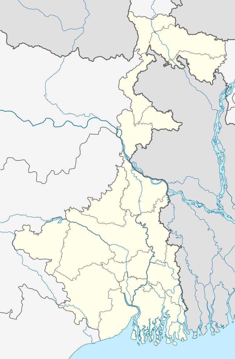
Map of Sadpur, West Bengal 743289
Geography
Sadpur is located at 22.86°N 88.75°E / 22.86; 88.75.
Demographics
As per 2011 Census of India Sadpur had a total population of 7,737, of which 3,946 (51%) were males and 3,827 (49%) were females. Population below 6 years was 641. The total number of literates in Sadpur was 6,325 (88.68% of the population over 6 years).
As of 2001 India census, Sadpur had a population of 6742. Males constitute 51% of the population and females 49%. Sadpur has an average literacy rate of 78%, higher than the national average of 59.5%: male literacy is 83%, and female literacy is 73%. In Sadpur, 10% of the population is under 6 years of age.