
Admin. region Detmold Elevation 115 m (377 ft) Area 44.73 km² Local time Saturday 4:17 PM Dialling code 05744 | Time zone CET/CEST (UTC+1/+2) Population 13,361 (30 Jun 2010) Postal code 32609 Administrative region Detmold | |
 | ||
Weather 9°C, Wind NW at 23 km/h, 69% Humidity | ||
Hüllhorst is a municipality in the Minden-Lübbecke district, in North Rhine-Westphalia, Germany.
Contents
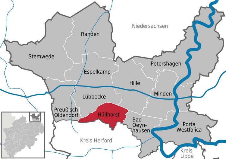
Map of 32609 H%C3%BCllhorst, Germany
Geography
Hüllhorst is situated on the south side of the Wiehengebirge, approx. 5 km south-east of Lübbecke and 20 km west of Minden.
Neighbouring places
Division of the municipality
Hüllhorst consists of 9 districts (Population as of December 31, 2006):
References
Hüllhorst Wikipedia(Text) CC BY-SA