
Languages spoken Hindi, Santali | State District Gumla | |
Gumla (Hindi: ?????) is a town that serves as the headquarters of the Gumla district in Jharkhand state, India.
Contents
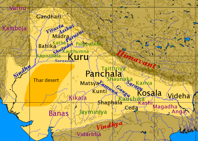
- Map of Gumla
- Shri narendra modi addressing a public meeting in gumla jharkhand
- Jharkhand police crpf motivate youth in maoisthit gumla district to join mainstream
- History
- Geography
- Tourist attractions
- Festivals and dances
- References
Map of Gumla
Shri narendra modi addressing a public meeting in gumla jharkhand
Jharkhand police crpf motivate youth in maoisthit gumla district to join mainstream
History
Gumla began as a small hamlet. A week-long "Cow Fair" (Gau-Mela) took place every year in the town where items of daily use, utensils, ornaments, grain, and cattle were sold and exchanged. These items could only be obtained at the fair, so people would make a long list of items required during the year and buy them during the fair. People from distant places were drawn to the town to buy and sell these agricultural staples. People gradually began to inhabit the hamlet on a full-time basis, and it eventually grew into a village. The village was given the name "Gumla," a derivative of "Gau–Mela."
During the British rule in India, Gumla was in the Lohardaga district. In 1800, there was a revolt against the British. In 1807, the Oraons in Barway, west of Gumla, murdered their landlord from Srinagar. Soon the uprising spread throughout Gumla. In 1843, Gumla became part of Bishunpur province. This province, which came into existence in 1899, was later named Ranchi and in 1902, Gumla became a subdivision of the Ranchi district.
During the medieval era, the Chhotanagpur region was ruled by kings of the Naga dynasty. Baraik Devenandan Singh was given the right to rule over the Gumla region. It is said that during the Kolh Reble in 1931–32, Vaktar Say played a prominent role. Ganga Maharaj, who built the Kali Temple at Sri Ramnagar, played an active role in the Quit India Movement in 1942. For this great contribution to Indian independence, he was honored with a life pension by the Indian government.
On May 18, 1984, Gumla District came into existence. Sri Jagannath Mishra, then ruling Chief Minister of Bihar, inaugurated it, and Sri Dwarika Nath Sinha was appointed the first deputy commissioner of the newly formed district.
Geography
Gumla is located at 23°N 84.50°E? / 23; 84.50. Geographically, Gumla is in the southern part of the Chota Nagpur plateau, which forms the eastern edge of the Deccan plateau system. Three major rivers flow through the Gumla area: the South Koyel, North Koyel and Shankh.
Tourist attractions
Festivals and dances
Gumla is home to people of many different castes, creeds and sects. All festivals are celebrated with pomp, glory and in harmony.