
- location Satpura Range - min 2 m/s (71 cu ft/s) Basin area 65,145 km² Country India | - location Dumas, Surat, Gujarat Length 724 km Source Satpura Range | |
 | ||
- average 489 m/s (17,269 cu ft/s) - max 9,830 m/s (347,143 cu ft/s) Cities Surat, Burhanpur, Bhusawal, Nashik, Jalgaon, Khandwa Mouths Gulf of Khambhat, Arabian Sea Similar Narmada River, Godavari River, Krishna River | ||
Tapti river athner road
The Tapi River (or Tapti) flows in central India from east to west, between the Godavari and Narmada rivers.
Contents
- Tapti river athner road
- Map of Tapi River
- Tapti river surat gujarat
- Name
- River basin and tributaries
- References
Map of Tapi River
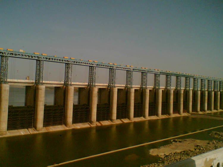
It flows through Surat, and is crossed by the Magdalla ONGC Bridge.
Tapi also flows through northern Maharashtra
Tapti river surat gujarat
Name
The river is supposedly named after the goddess Tapti, the daughter of Surya, the Sun god, who according to legend founded the Kuru Dynasty when she married King Samvarna.
River basin and tributaries
The Tapi River basin encompasses an area of 65,145 km², which is nearly two percent of the total area of India. The basin lies in the states of Maharashtra (51,504 km²), Madhya Pradesh (9,804 km²) and Gujarat (3,837 km²).
The basin lies mostly in the northern and eastern districts Maharashtra state, including Amravati, Akola, Buldhana, Washim, Jalgaon, Dhule, Nandurbar, and Nashik districts, but also includes the Betul and Burhanpur districts of Madhya Pradesh and the Surat and Tapi district (Vyara)(named after river tapi)of Gujarat.